Area Overview for CB10 2HJ
Photos of CB10 2HJ
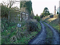
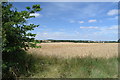
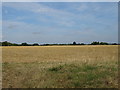
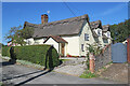
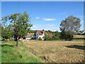

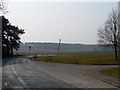
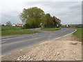
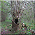
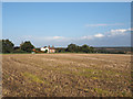
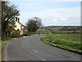

27 photos from this area
Area Information
Key information about the CB10 2HJ including its size, population, and administrative classification.
- Area Type
- Postcode
- Area Size
- 10.6 hectares
- Population
- 1749
- Population Density
- 55 people/km²
House Prices in CB10 2HJ
8
Properties
£615,250
Average Sold Price
£274,000
Lowest Price
£1,275,000
Highest Price
Showing 8 properties
| Address | Type | Beds | Baths | Last Sale Price | Last Sale Date | |
|---|---|---|---|---|---|---|
| Old Lamb Inn, Walden Road, Ashdon, CB10 2HJ | house | - | - | £1,275,000 | Mar 2022 | |
| Foxes Corner, Walden Road, Ashdon, CB10 2HJ | Detached | - | - | £375,000 | Jul 2020 | |
| Jerilderie, Walden Road, Ashdon, CB10 2HJ | Detached | 3 | - | £337,500 | Sep 2014 | |
| Ashdon Lodge, Walden Road, Ashdon, CB10 2HJ | Retail | 5 | 4 | £1,095,000 | Sep 2007 | |
| White Lodge, Walden Road, Ashdon, CB10 2HJ | Detached | - | - | £335,000 | May 2006 | |
| Orchard House, Walden Road, Ashdon, CB10 2HJ | Land | 4 | 3 | £274,000 | Sep 2000 | |
| The Long Bungalow, Walden Road, Ashdon, CB10 2HJ | Bungalow | 3 | 4 | - | - | |
| Hales Bungalow, Walden Road, Ashdon, CB10 2HJ | Detached | - | - | - | - |
Energy Efficiency in CB10 2HJ
Amenities
Schools
| Rank | School | Type | Entry gender | Ages |
|---|
Explore more schools in this area
Go to Schools tabDemographics
Household Size
Two person
most common
Accommodation Type
Houses
most common
Tenure
79
majority
Ethnic Group
White
most common
Religion
N/A
most common
Household Composition
N/A
most common
Age
47
median
Adults (30-64 years)
most common
Household Deprivation
N/A
with no deprivation
NS-SEC
47
in Lower managerial occupations
Explore more demographic insights in this area
Go to Demographics tabPlanning
Planning Constraints
- Flood RiskPremium
- Ramsar Wetland SitesPremium
- Area of Outstanding Natural BeautyPremium
- Protected Nature ReservePremium
- Protected WoodlandPremium