Area Overview for Willingham
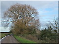
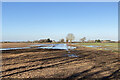
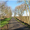
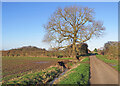
Photos of Willingham
Area Information
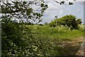
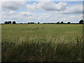
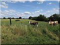
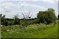
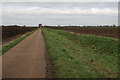
Living in Willingham offers a distinct experience on the fringes of the Fens. This civil parish spans 20.2 km² and sits within the South Cambridgeshire district, positioning the village near Cottenham. The location reflects a long history of adapting to low-lying wetland conditions, with major Fen drainage efforts in the 17th century fundamentally shaping the settlement. You find yourself in a community where the Church of St Mary and All Saints remains the principal landmark, standing on foundations laid back in the 12th century. The village has evolved significantly over time, with populations growing from 23 households at Domesday to over 3,400 by 2001. Daily life in Willingham combines historical depth with modern village amenities. You will notice local facilities such as a primary school, a library, and existing shops and restaurants. Three public houses serve the community, including The Bank and The Porterhouse Pub, though the Duke of Wellington has been closed since late 2022. The parish supports its younger residents through the Willingham Youth Trust and an established Scout Group, ensuring the community remains active beyond the medieval figure paintings adorning the church walls. Belsar's Hill, located in the east along the historic Aldreth causeway route, marks the area's archaeological significance, offering a tangible link to the Bronze Age history that predates modern settlement patterns.
- Area Type
- Parish
- Area Size
- 20.2 km²
- Population
- Not available
- Population Density
- Not available
Demographics
The community profile of Willingham reveals a settlement with a clear generational divide and strong ties to property ownership. The median age for residents is 70, indicating a population skewed significantly towards older adults. This contrasts with a household composition where total households are represented, though specific breakdowns by tenure type vary. Crucially, home ownership stands at 73%, meaning nearly three-quarters of households own their property outright rather than renting. This high rate suggests a stable residential base where families and long-term residents have invested heavily in their local homes. While the median age indicates an older demographic, the village's history shows a much more diverse population trajectory. Registered numbers grew from 23 at Domesday to nearly 800 by 1801, and by 2001, the population reached 3,436. The presence of a primary school and youth trust implies ongoing support for children and young people, even if the age balance currently leans older. Accommodation types span the total parish footprint, providing various options for different family sizes. The absence of specific ethnicity or religion data means you should look to local community engagement through the youth trust for a full picture of the current social fabric. Despite the older median age, the high ownership rate signals a secure environment for those settled here.
Household Size
Accommodation Type
Tenure
Ethnic Group
Religion
Household Composition
Age
Household Deprivation
NS-SEC
Explore more demographic insights in this area
Go to Demographics tabPlanning
Planning Constraints
- Flood RiskPremium
- Ramsar Wetland SitesPremium
- Area of Outstanding Natural BeautyPremium
- Protected Nature ReservePremium
- Protected WoodlandPremium