Area Overview for Broxbourne District (B)
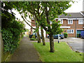
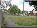
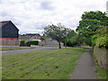
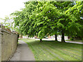
Photos of Broxbourne District (B)
Area Information
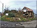
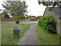
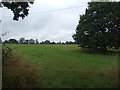
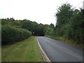
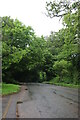
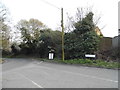
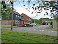
Broxbourne District forms a local authority borough in the southern part of Hertfordshire, covering an area of 51.5 square kilometres. You will find this district approximately 17 miles north of London, situated near the River Lea which marks the eastern boundary with Essex. The borough includes the town of Broxbourne, a settlement with a recorded population of 15,303 in the 2011 Census. This town lies geographically between Hoddesdon to the south and Cheshunt to the north. The area was established on 1 April 1974 through the merger of Cheshunt and Hoddesdon Urban Districts under the Local Government Act 1972. Daily life here is shaped by the presence of the Brooksburne railway station, a Grade II listed building constructed in 1840, which connects residents to the West Anglia Main Line. Major roads such as the A10 cut through the town, providing direct routes while the M25 motorway sits just five miles to the south. Living in Broxbourne District means residing in a region defined by its historic roots dating back to the Domesday Book and its proximity to significant green spaces like Broxbourne Woods national nature reserve. The combination of urban reach and countryside access defines the daily experience for those calling this 51.5 km² district home.
- Area Type
- District/Borough
- Area Size
- 51.5 km²
- Population
- Not available
- Population Density
- Not available
Demographics
The community within Broxbourne District reflects a mature population profile, with a median age of 70 years. The most common age range recorded is simply listed as 'Age: Total', indicating the dataset categorises the entire population broadly under this header. Home ownership is a defining feature of this district, with 70% of households owning their properties outright. This high rate suggests a community established by long-term residents rather than a transient rental market. The available data does not specify the predominant ethnic group or religious breakdown, but the structure of the households points towards stability. You are likely to encounter neighbours who have remained in the area for decades, given the proximity to the 1974 merger date and the historic nature of the borough. The district is currently divided between these owner-occupiers and the remaining 30% of households that are not owners. This ownership structure influences the local pace of life and neighbourly connections. When considering communities near Broxbourne, you should expect an environment where established homeowners form the social backbone of the neighbourhood. The demographic picture presents a settled area where residents have embedded themselves deeply within the local infrastructure and social fabric.
Household Size
Accommodation Type
Tenure
Ethnic Group
Religion
Household Composition
Age
Household Deprivation
NS-SEC
Explore more demographic insights in this area
Go to Demographics tabPlanning
Planning Constraints
- Flood RiskPremium
- Ramsar Wetland SitesPremium
- Area of Outstanding Natural BeautyPremium
- Protected Nature ReservePremium
- Protected WoodlandPremium
- Crime RiskPremium