Area Overview for AL4 0XZ
Photos of AL4 0XZ
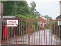
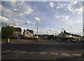
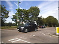
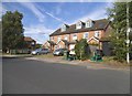
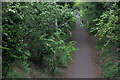
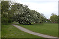
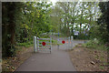
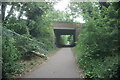
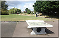
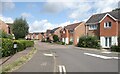
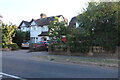
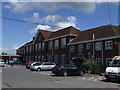
25 photos from this area
Area Information
Key information about the AL4 0XZ including its size, population, and administrative classification.
- Area Type
- Postcode
- Area Size
- 5871 m²
- Population
- 1483
- Population Density
- 343 people/km²
House Prices in AL4 0XZ
12
Properties
£153,329
Average Sold Price
£62,500
Lowest Price
£231,000
Highest Price
Showing 12 properties
| Address | Type | Beds | Baths | Last Sale Price | Last Sale Date | |
|---|---|---|---|---|---|---|
| 2, The Acorns, Wynchlands Crescent, St Albans, AL4 0XZ | Flat | 1 | 1 | £210,000 | Oct 2025 | |
| 3, The Acorns, Wynchlands Crescent, St Albans, AL4 0XZ | Flat | 1 | 1 | £172,500 | Jul 2025 | |
| 6, The Acorns, Wynchlands Crescent, St Albans, AL4 0XZ | Flat | - | - | £220,000 | Aug 2022 | |
| 10, The Acorns, Wynchlands Crescent, St Albans, AL4 0XZ | Flat | 1 | 1 | £231,000 | May 2022 | |
| 7, The Acorns, Wynchlands Crescent, St Albans, AL4 0XZ | Flat | 1 | 1 | £185,000 | Sep 2020 | |
| 1, The Acorns, Wynchlands Crescent, St Albans, AL4 0XZ | Flat | 1 | 1 | £200,000 | Aug 2020 | |
| 4, The Acorns, Wynchlands Crescent, St Albans, AL4 0XZ | Flat | - | - | £119,000 | Dec 2006 | |
| 11, The Acorns, Wynchlands Crescent, St Albans, AL4 0XZ | Flat | - | - | £148,000 | Jan 2006 | |
| 9, The Acorns, Wynchlands Crescent, St Albans, AL4 0XZ | Flat | 1 | 1 | £136,000 | Dec 2003 | |
| 8, The Acorns, Wynchlands Crescent, St Albans, AL4 0XZ | Flat | - | - | £79,950 | Mar 2000 |
Page 1 of 2
Energy Efficiency in AL4 0XZ
Amenities
Schools
| Rank | School | Type | Entry gender | Ages |
|---|
Explore more schools in this area
Go to Schools tabDemographics
Household Size
Family (3-5 people)
most common
Accommodation Type
Houses
most common
Tenure
73
majority
Ethnic Group
White
most common
Religion
N/A
most common
Household Composition
N/A
most common
Age
47
median
Adults (30-64 years)
most common
Household Deprivation
N/A
with no deprivation
NS-SEC
40
in Lower managerial occupations
Explore more demographic insights in this area
Go to Demographics tabPlanning
Planning Constraints
- Flood RiskPremium
- Ramsar Wetland SitesPremium
- Area of Outstanding Natural BeautyPremium
- Protected Nature ReservePremium
- Protected WoodlandPremium