Area Overview for AL4 0DU
Photos of AL4 0DU
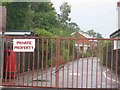
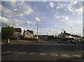
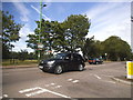
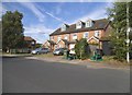
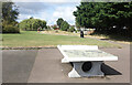
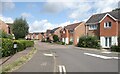
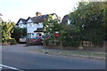
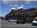
25 photos from this area
Area Information
Key information about the AL4 0DU including its size, population, and administrative classification.
- Area Type
- Postcode
- Area Size
- 2.7 hectares
- Population
- 1762
- Population Density
- 5597 people/km²
House Prices in AL4 0DU
58
Properties
£719,378
Average Sold Price
£100,000
Lowest Price
£1,617,500
Highest Price
Showing 58 properties
| Address | Type | Beds | Baths | Last Sale Price | Last Sale Date | |
|---|---|---|---|---|---|---|
| 338 Hatfield Road, St Albans, AL4 0DU | Semi-detached | 4 | 4 | £1,617,500 | Nov 2024 | |
| 322 Hatfield Road, St Albans, AL4 0DU | house | 4 | 3 | £1,185,000 | Jun 2024 | |
| 364 Hatfield Road, St Albans, AL4 0DU | house | - | - | £1,300,000 | Mar 2024 | |
| 364A Hatfield Road, St Albans, AL4 0DU | Semi-detached | 5 | 4 | £1,265,000 | Mar 2023 | |
| 402 Hatfield Road, St Albans, AL4 0DU | Detached | 4 | 2 | £1,200,000 | Jun 2022 | |
| 346 Hatfield Road, St Albans, AL4 0DU | house | - | - | £945,000 | Mar 2022 | |
| 328 Hatfield Road, St Albans, AL4 0DU | house | - | - | £990,000 | Feb 2022 | |
| 382 HATFIELD ROAD, St Albans, AL4 0DU | Detached | 4 | - | £1,050,000 | Jan 2022 | |
| 398 Hatfield Road, St Albans, AL4 0DU | house | - | - | £700,000 | Jun 2021 | |
| 318 Hatfield Road, St Albans, AL4 0DU | Semi-detached | 4 | 2 | £765,000 | Apr 2021 |
Page 1 of 6
Energy Efficiency in AL4 0DU
Amenities
Schools
| Rank | School | Type | Entry gender | Ages |
|---|
Explore more schools in this area
Go to Schools tabDemographics
Household Size
Family (3-5 people)
most common
Accommodation Type
Houses
most common
Tenure
74
majority
Ethnic Group
White
most common
Religion
N/A
most common
Household Composition
N/A
most common
Age
47
median
Adults (30-64 years)
most common
Household Deprivation
N/A
with no deprivation
NS-SEC
55
in Lower managerial occupations
Explore more demographic insights in this area
Go to Demographics tabPlanning
Planning Constraints
- Flood RiskPremium
- Ramsar Wetland SitesPremium
- Area of Outstanding Natural BeautyPremium
- Protected Nature ReservePremium
- Protected WoodlandPremium