Area Overview for AL3 4NH
Photos of AL3 4NH
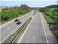
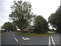
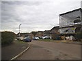
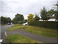
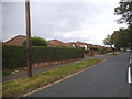
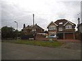
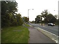
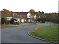
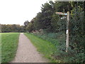
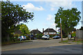
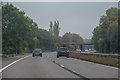
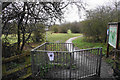
21 photos from this area
Area Information
Key information about the AL3 4NH including its size, population, and administrative classification.
- Area Type
- Postcode
- Area Size
- 14.7 hectares
- Population
- 1565
- Population Density
- 1166 people/km²
House Prices in AL3 4NH
15
Properties
£697,102
Average Sold Price
£260,000
Lowest Price
£1,075,000
Highest Price
Showing 15 properties
| Address | Type | Beds | Baths | Last Sale Price | Last Sale Date | |
|---|---|---|---|---|---|---|
| 9 Corder Close, St Albans, AL3 4NH | Detached | 4 | 3 | £1,050,000 | Jan 2023 | |
| 15 Corder Close, St Albans, AL3 4NH | Retail | 4 | 2 | £989,225 | Oct 2022 | |
| 17 Corder Close, St Albans, AL3 4NH | house | 4 | - | £850,000 | Aug 2021 | |
| 11 Corder Close, St Albans, AL3 4NH | house | 4 | - | £1,075,000 | May 2021 | |
| 6 Corder Close, St Albans, AL3 4NH | Detached | 4 | 2 | £880,000 | Jun 2015 | |
| 12 Corder Close, St Albans, AL3 4NH | house | - | - | £865,000 | Aug 2014 | |
| 20 Corder Close, St Albans, AL3 4NH | house | 4 | - | £586,000 | May 2014 | |
| 14 Corder Close, St Albans, AL3 4NH | house | - | - | £590,000 | Dec 2010 | |
| 18 Corder Close, St Albans, AL3 4NH | Detached | 5 | 2 | £410,000 | Nov 2005 | |
| 8 Corder Close, St Albans, AL3 4NH | Detached | - | - | £520,000 | Jan 2005 |
Page 1 of 2
Energy Efficiency in AL3 4NH
Amenities
Schools
| Rank | School | Type | Entry gender | Ages |
|---|
Explore more schools in this area
Go to Schools tabDemographics
Household Size
Family (3-5 people)
most common
Accommodation Type
Houses
most common
Tenure
93
majority
Ethnic Group
White
most common
Religion
N/A
most common
Household Composition
N/A
most common
Age
47
median
Adults (30-64 years)
most common
Household Deprivation
N/A
with no deprivation
NS-SEC
59
in Lower managerial occupations
Explore more demographic insights in this area
Go to Demographics tabPlanning
Planning Constraints
- Flood RiskPremium
- Ramsar Wetland SitesPremium
- Area of Outstanding Natural BeautyPremium
- Protected Nature ReservePremium
- Protected WoodlandPremium