Area Overview for AL10 9LR
Photos of AL10 9LR
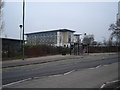
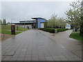
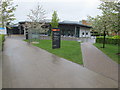
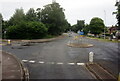
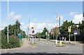
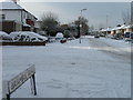
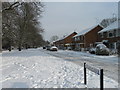
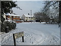
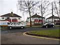
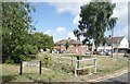
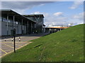
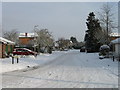
19 photos from this area
Area Information
Key information about the AL10 9LR including its size, population, and administrative classification.
- Area Type
- Postcode
- Area Size
- 1.3 hectares
- Population
- 2247
- Population Density
- 1811 people/km²
House Prices in AL10 9LR
68
Properties
£284,976
Average Sold Price
£114,000
Lowest Price
£431,250
Highest Price
Showing 68 properties
| Address | Type | Beds | Baths | Last Sale Price | Last Sale Date | |
|---|---|---|---|---|---|---|
| 58 Cunningham Avenue, Hatfield, AL10 9LR | Semi-detached | 4 | 2 | £408,000 | Mar 2025 | |
| 39 Cunningham Avenue, Hatfield, AL10 9LR | house | 5 | 3 | £431,250 | Aug 2023 | |
| 11 Cunningham Avenue, Hatfield, AL10 9LR | house | - | - | £420,000 | Aug 2022 | |
| 56 Cunningham Avenue, Hatfield, AL10 9LR | Semi-detached | 4 | 3 | £360,000 | Jul 2019 | |
| 26 Cunningham Avenue, Hatfield, AL10 9LR | Semi-detached | 5 | 2 | £390,000 | Aug 2017 | |
| 31 Cunningham Avenue, Hatfield, AL10 9LR | Semi-detached | 5 | 2 | £375,000 | Mar 2016 | |
| 21 Cunningham Avenue, Hatfield, AL10 9LR | house | 4 | - | £395,000 | Feb 2016 | |
| 23 Cunningham Avenue, Hatfield, AL10 9LR | house | 5 | 1 | £390,000 | Feb 2016 | |
| 18 Cunningham Avenue, Hatfield, AL10 9LR | Detached | 2 | 1 | £229,950 | Dec 2014 | |
| 33 Cunningham Avenue, Hatfield, AL10 9LR | Detached | 5 | 2 | £249,995 | Feb 2010 |
Page 1 of 7
Energy Efficiency in AL10 9LR
Amenities
Schools
| Rank | School | Type | Entry gender | Ages |
|---|
Explore more schools in this area
Go to Schools tabDemographics
Household Size
Family (3-5 people)
most common
Accommodation Type
Houses
most common
Tenure
31
majority
Ethnic Group
White
most common
Religion
N/A
most common
Household Composition
N/A
most common
Age
22
median
Young Adults (15-29 years)
most common
Household Deprivation
N/A
with no deprivation
NS-SEC
22
in Lower managerial occupations
Explore more demographic insights in this area
Go to Demographics tabPlanning
Planning Constraints
- Flood RiskPremium
- Ramsar Wetland SitesPremium
- Area of Outstanding Natural BeautyPremium
- Protected Nature ReservePremium
- Protected WoodlandPremium