Area Overview for AL10 0AT
Photos of AL10 0AT
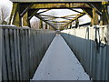
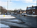
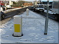
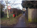
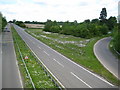
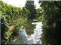
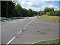
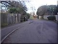
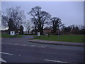
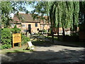
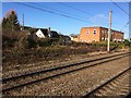
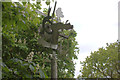
44 photos from this area
Area Information
Key information about the AL10 0AT including its size, population, and administrative classification.
- Area Type
- Postcode
- Area Size
- 1.3 hectares
- Population
- 1675
- Population Density
- 6834 people/km²
House Prices in AL10 0AT
40
Properties
£279,837
Average Sold Price
£66,000
Lowest Price
£445,000
Highest Price
Showing 40 properties
| Address | Type | Beds | Baths | Last Sale Price | Last Sale Date | |
|---|---|---|---|---|---|---|
| 29 Heyford Way, Hatfield, AL10 0AT | Terraced | 2 | 1 | £325,000 | Nov 2025 | |
| 24 Heyford Way, Hatfield, AL10 0AT | Terraced | 3 | 1 | £430,000 | Jul 2025 | |
| 30 Heyford Way, Hatfield, AL10 0AT | Terraced | 2 | 1 | £365,000 | Oct 2024 | |
| 25 Heyford Way, Hatfield, AL10 0AT | Terraced | 2 | 1 | £338,000 | Jul 2024 | |
| 10 Heyford Way, Hatfield, AL10 0AT | Terraced | 2 | 1 | £338,000 | Nov 2023 | |
| 37 Heyford Way, Hatfield, AL10 0AT | Terraced | 2 | 1 | £322,000 | May 2023 | |
| 4 Heyford Way, Hatfield, AL10 0AT | house | - | - | £305,000 | Jun 2021 | |
| 35 Heyford Way, Hatfield, AL10 0AT | house | - | - | £345,000 | Jun 2021 | |
| 7 Heyford Way, Hatfield, AL10 0AT | Terraced | 2 | 1 | £320,000 | Nov 2020 | |
| 32 Heyford Way, Hatfield, AL10 0AT | Terraced | 4 | - | £425,000 | Mar 2020 |
Page 1 of 4
Energy Efficiency in AL10 0AT
Amenities
Schools
| Rank | School | Type | Entry gender | Ages |
|---|
Explore more schools in this area
Go to Schools tabDemographics
Household Size
Family (3-5 people)
most common
Accommodation Type
Houses
most common
Tenure
40
majority
Ethnic Group
White
most common
Religion
N/A
most common
Household Composition
N/A
most common
Age
47
median
Adults (30-64 years)
most common
Household Deprivation
N/A
with no deprivation
NS-SEC
29
in Lower managerial occupations
Explore more demographic insights in this area
Go to Demographics tabPlanning
Planning Constraints
- Flood RiskPremium
- Ramsar Wetland SitesPremium
- Area of Outstanding Natural BeautyPremium
- Protected Nature ReservePremium
- Protected WoodlandPremium