Area Overview for AL1 5LY
Photos of AL1 5LY
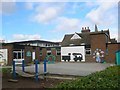
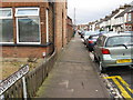
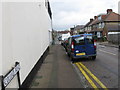
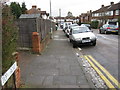
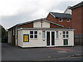
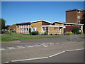
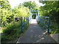
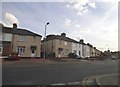
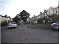
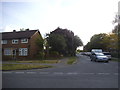
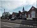
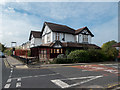
46 photos from this area
Area Information
Key information about the AL1 5LY including its size, population, and administrative classification.
- Area Type
- Postcode
- Area Size
- 9385 m²
- Population
- 1578
- Population Density
- 5809 people/km²
House Prices in AL1 5LY
26
Properties
£302,000
Average Sold Price
£93,000
Lowest Price
£431,000
Highest Price
Showing 26 properties
| Address | Type | Beds | Baths | Last Sale Price | Last Sale Date | |
|---|---|---|---|---|---|---|
| 29 Springfield Road, St Albans, AL1 5LY | Terraced | 2 | 1 | £431,000 | May 2023 | |
| 38 Springfield Road, St Albans, AL1 5LY | Terraced | 2 | 1 | £397,500 | Jul 2020 | |
| 36A Springfield Road, St Albans, AL1 5LY | Maisonette | 2 | 1 | £278,000 | Jan 2018 | |
| 27 Springfield Road, St Albans, AL1 5LY | Terraced | 2 | 1 | £350,000 | Jun 2015 | |
| 28 Springfield Road, St Albans, AL1 5LY | house | 2 | 1 | £325,000 | May 2015 | |
| 25 Springfield Road, St Albans, AL1 5LY | house | 2 | - | £315,000 | Mar 2015 | |
| 23 Springfield Road, St Albans, AL1 5LY | house | - | - | £360,000 | Nov 2014 | |
| 34 Springfield Road, St Albans, AL1 5LY | Semi-detached | 3 | 1 | £325,000 | Dec 2013 | |
| 41 Springfield Road, St Albans, AL1 5LY | house | - | - | £265,000 | Feb 2011 | |
| 31 Springfield Road, St Albans, AL1 5LY | Semi-detached | - | - | £302,000 | Nov 2007 |
Page 1 of 3
Energy Efficiency in AL1 5LY
Amenities
Schools
| Rank | School | Type | Entry gender | Ages |
|---|
Explore more schools in this area
Go to Schools tabDemographics
Household Size
Family (3-5 people)
most common
Accommodation Type
Houses
most common
Tenure
45
majority
Ethnic Group
White
most common
Religion
N/A
most common
Household Composition
N/A
most common
Age
47
median
Adults (30-64 years)
most common
Household Deprivation
N/A
with no deprivation
NS-SEC
35
in Lower managerial occupations
Explore more demographic insights in this area
Go to Demographics tabPlanning
Planning Constraints
- Flood RiskPremium
- Ramsar Wetland SitesPremium
- Area of Outstanding Natural BeautyPremium
- Protected Nature ReservePremium
- Protected WoodlandPremium