Area Overview for AL1 5HS
Photos of AL1 5HS
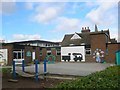
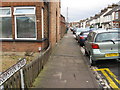
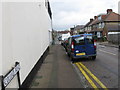
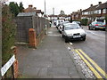
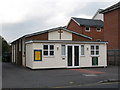
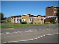
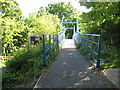
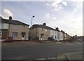
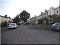
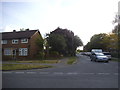
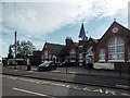
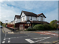
46 photos from this area
Area Information
Key information about the AL1 5HS including its size, population, and administrative classification.
- Area Type
- Postcode
- Area Size
- 1.5 hectares
- Population
- 1979
- Population Density
- 8996 people/km²
House Prices in AL1 5HS
64
Properties
£462,280
Average Sold Price
£25,000
Lowest Price
£920,029
Highest Price
Showing 64 properties
| Address | Type | Beds | Baths | Last Sale Price | Last Sale Date | |
|---|---|---|---|---|---|---|
| 5 Roland Street, St Albans, AL1 5HS | Semi-detached | 4 | 2 | £890,500 | Dec 2025 | |
| 11 Roland Street, St Albans, AL1 5HS | Semi-detached | 4 | 2 | £895,000 | Dec 2024 | |
| 23 Roland Street, St Albans, AL1 5HS | Semi-detached | 4 | 2 | £865,000 | Jul 2024 | |
| 17 Roland Street, St Albans, AL1 5HS | Semi-detached | 4 | 2 | £920,029 | Dec 2022 | |
| 15 Roland Street, St Albans, AL1 5HS | Retail | 4 | 2 | £745,000 | Nov 2022 | |
| 9 Roland Street, St Albans, AL1 5HS | Retail | 3 | 1 | £632,000 | Oct 2022 | |
| 16 Roland Street, St Albans, AL1 5HS | Semi-detached | 3 | 2 | £622,000 | Sep 2020 | |
| 24 Roland Street, St Albans, AL1 5HS | house | - | - | £518,000 | Jun 2017 | |
| 2 Roland Street, St Albans, AL1 5HS | house | 3 | - | £423,000 | Jun 2014 | |
| 12 Roland Street, St Albans, AL1 5HS | house | - | - | £322,800 | Feb 2012 |
Page 1 of 7
Energy Efficiency in AL1 5HS
Amenities
Schools
| Rank | School | Type | Entry gender | Ages |
|---|
Explore more schools in this area
Go to Schools tabDemographics
Household Size
One person
most common
Accommodation Type
Flats
most common
Tenure
46
majority
Ethnic Group
White
most common
Religion
N/A
most common
Household Composition
N/A
most common
Age
47
median
Adults (30-64 years)
most common
Household Deprivation
N/A
with no deprivation
NS-SEC
48
in Lower managerial occupations
Explore more demographic insights in this area
Go to Demographics tabPlanning
Planning Constraints
- Flood RiskPremium
- Ramsar Wetland SitesPremium
- Area of Outstanding Natural BeautyPremium
- Protected Nature ReservePremium
- Protected WoodlandPremium