Area Overview for AL1 5JD
Photos of AL1 5JD
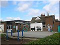
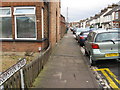
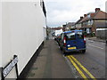
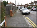
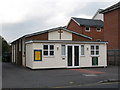
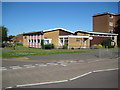
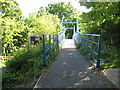
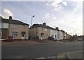
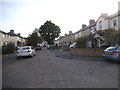
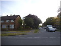
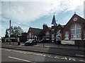
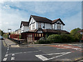
46 photos from this area
Area Information
Key information about the AL1 5JD including its size, population, and administrative classification.
- Area Type
- Postcode
- Area Size
- 8684 m²
- Population
- 1762
- Population Density
- 5597 people/km²
House Prices in AL1 5JD
26
Properties
£472,437
Average Sold Price
£114,000
Lowest Price
£866,359
Highest Price
Showing 26 properties
| Address | Type | Beds | Baths | Last Sale Price | Last Sale Date | |
|---|---|---|---|---|---|---|
| 4 Valerie Close, St Albans, AL1 5JD | Semi-detached | 3 | 1 | £866,359 | Jun 2025 | |
| 6 Valerie Close, St Albans, AL1 5JD | Semi-detached | 4 | 2 | £825,000 | Oct 2024 | |
| 25 Valerie Close, St Albans, AL1 5JD | Semi-detached | 4 | 2 | £788,500 | Jul 2023 | |
| 23 Valerie Close, St Albans, AL1 5JD | Semi-detached | 3 | 1 | £480,000 | Mar 2023 | |
| 16 Valerie Close, St Albans, AL1 5JD | Semi-detached | 5 | - | £795,000 | Sep 2021 | |
| 14 Valerie Close, St Albans, AL1 5JD | Semi-detached | 4 | 2 | £632,500 | Oct 2018 | |
| 17 Valerie Close, St Albans, AL1 5JD | house | - | - | £475,000 | Sep 2017 | |
| 5 Valerie Close, St Albans, AL1 5JD | Semi-detached | - | - | £365,000 | Sep 2012 | |
| 1 Valerie Close, St Albans, AL1 5JD | house | - | - | £360,000 | Dec 2010 | |
| 19 Valerie Close, St Albans, AL1 5JD | house | - | - | £349,950 | Jul 2007 |
Page 1 of 3
Energy Efficiency in AL1 5JD
Amenities
Schools
| Rank | School | Type | Entry gender | Ages |
|---|
Explore more schools in this area
Go to Schools tabDemographics
Household Size
Family (3-5 people)
most common
Accommodation Type
Houses
most common
Tenure
74
majority
Ethnic Group
White
most common
Religion
N/A
most common
Household Composition
N/A
most common
Age
47
median
Adults (30-64 years)
most common
Household Deprivation
N/A
with no deprivation
NS-SEC
55
in Lower managerial occupations
Explore more demographic insights in this area
Go to Demographics tabPlanning
Planning Constraints
- Flood RiskPremium
- Ramsar Wetland SitesPremium
- Area of Outstanding Natural BeautyPremium
- Protected Nature ReservePremium
- Protected WoodlandPremium