Area Overview for AL1 4SH
Photos of AL1 4SH
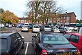
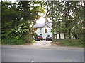
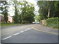
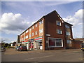
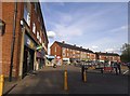
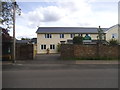
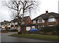
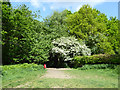
31 photos from this area
Area Information
Key information about the AL1 4SH including its size, population, and administrative classification.
- Area Type
- Postcode
- Area Size
- 8186 m²
- Population
- 1786
- Population Density
- 2554 people/km²
House Prices in AL1 4SH
21
Properties
£322,867
Average Sold Price
£66,500
Lowest Price
£472,000
Highest Price
Showing 21 properties
| Address | Type | Beds | Baths | Last Sale Price | Last Sale Date | |
|---|---|---|---|---|---|---|
| 7 Charmouth Court, St Albans, AL1 4SH | Maisonette | 2 | - | £405,000 | Dec 2024 | |
| 18 Charmouth Court, St Albans, AL1 4SH | Maisonette | 3 | 1 | £420,000 | Aug 2024 | |
| 19 Charmouth Court, St Albans, AL1 4SH | Flat | - | - | £472,000 | May 2022 | |
| 20 Charmouth Court, St Albans, AL1 4SH | Maisonette | 3 | 1 | £450,000 | Mar 2022 | |
| 3 Charmouth Court, St Albans, AL1 4SH | Maisonette | 2 | 1 | £380,000 | Sep 2021 | |
| 12 Charmouth Court, St Albans, AL1 4SH | Maisonette | 2 | - | £325,000 | Aug 2020 | |
| 11 Charmouth Court, St Albans, AL1 4SH | Maisonette | 2 | 1 | £345,000 | Aug 2019 | |
| 13 Charmouth Court, St Albans, AL1 4SH | Maisonette | 2 | 1 | £375,000 | Jan 2016 | |
| 6 Charmouth Court, St Albans, AL1 4SH | Flat | - | - | £375,000 | Nov 2015 | |
| 5 Charmouth Court, St Albans, AL1 4SH | Maisonette | 2 | - | £315,000 | Dec 2014 |
Page 1 of 3
Energy Efficiency in AL1 4SH
Amenities
Schools
| Rank | School | Type | Entry gender | Ages |
|---|
Explore more schools in this area
Go to Schools tabDemographics
Household Size
Family (3-5 people)
most common
Accommodation Type
Houses
most common
Tenure
91
majority
Ethnic Group
White
most common
Religion
N/A
most common
Household Composition
N/A
most common
Age
47
median
Adults (30-64 years)
most common
Household Deprivation
N/A
with no deprivation
NS-SEC
64
in Lower managerial occupations
Explore more demographic insights in this area
Go to Demographics tabPlanning
Planning Constraints
- Flood RiskPremium
- Ramsar Wetland SitesPremium
- Area of Outstanding Natural BeautyPremium
- Protected Nature ReservePremium
- Protected WoodlandPremium