Area Overview for AL1 4AP
Photos of AL1 4AP
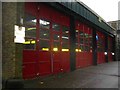
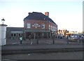
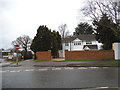
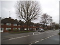
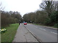
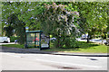
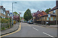
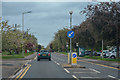
73 photos from this area
Area Information
Key information about the AL1 4AP including its size, population, and administrative classification.
- Area Type
- Postcode
- Area Size
- 1.0 hectares
- Population
- 2115
- Population Density
- 5015 people/km²
House Prices in AL1 4AP
35
Properties
£440,182
Average Sold Price
£69,000
Lowest Price
£710,000
Highest Price
Showing 35 properties
| Address | Type | Beds | Baths | Last Sale Price | Last Sale Date | |
|---|---|---|---|---|---|---|
| 118 Sandridge Road, St Albans, AL1 4AP | Terraced | 2 | 1 | £488,500 | Mar 2025 | |
| 102 Sandridge Road, St Albans, AL1 4AP | Terraced | 2 | 1 | £400,000 | Jun 2024 | |
| 112 Sandridge Road, St Albans, AL1 4AP | Terraced | 2 | 1 | £525,000 | Oct 2023 | |
| 136 Sandridge Road, St Albans, AL1 4AP | Terraced | 2 | 2 | £655,000 | Sep 2023 | |
| 146 Sandridge Road, St Albans, AL1 4AP | Terraced | 3 | 1 | £710,000 | May 2023 | |
| 106 Sandridge Road, St Albans, AL1 4AP | Terraced | 3 | 1 | £576,000 | Dec 2022 | |
| 94 Sandridge Road, St Albans, AL1 4AP | Terraced | 3 | 1 | £500,000 | Sep 2022 | |
| 126 Sandridge Road, St Albans, AL1 4AP | Terraced | 2 | 1 | £537,000 | Mar 2022 | |
| 138 Sandridge Road, St Albans, AL1 4AP | house | - | - | £695,000 | Oct 2021 | |
| 108 Sandridge Road, St Albans, AL1 4AP | house | - | - | £492,000 | Aug 2021 |
Page 1 of 4
Energy Efficiency in AL1 4AP
Amenities
Schools
| Rank | School | Type | Entry gender | Ages |
|---|
Explore more schools in this area
Go to Schools tabDemographics
Household Size
Family (3-5 people)
most common
Accommodation Type
Houses
most common
Tenure
77
majority
Ethnic Group
White
most common
Religion
N/A
most common
Household Composition
N/A
most common
Age
47
median
Adults (30-64 years)
most common
Household Deprivation
N/A
with no deprivation
NS-SEC
63
in Lower managerial occupations
Explore more demographic insights in this area
Go to Demographics tabPlanning
Planning Constraints
- Flood RiskPremium
- Ramsar Wetland SitesPremium
- Area of Outstanding Natural BeautyPremium
- Protected Nature ReservePremium
- Protected WoodlandPremium