Area Overview for AL1 4AG
Photos of AL1 4AG

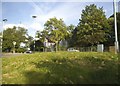
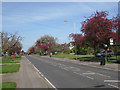
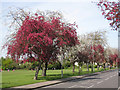
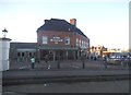
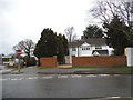
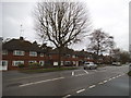
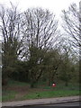
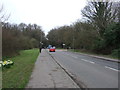
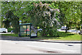
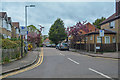
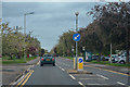
73 photos from this area
Area Information
Key information about the AL1 4AG including its size, population, and administrative classification.
- Area Type
- Postcode
- Area Size
- 2.0 hectares
- Population
- 2115
- Population Density
- 5015 people/km²
House Prices in AL1 4AG
21
Properties
£785,052
Average Sold Price
£155,000
Lowest Price
£1,550,000
Highest Price
Showing 21 properties
| Address | Type | Beds | Baths | Last Sale Price | Last Sale Date | |
|---|---|---|---|---|---|---|
| 65 Sandridge Road, St Albans, AL1 4AG | Detached | 4 | 3 | £1,075,000 | Jun 2023 | |
| 69 Sandridge Road, St Albans, AL1 4AG | Detached | 6 | 3 | £1,550,000 | May 2023 | |
| 3, Heathside, Sandridge Road, St Albans, AL1 4AG | house | - | - | £1,080,000 | Oct 2022 | |
| 75 Sandridge Road, St Albans, AL1 4AG | Detached | 4 | 2 | £700,000 | Nov 2020 | |
| 73 Sandridge Road, St Albans, AL1 4AG | Semi-detached | 3 | 2 | £604,572 | Sep 2018 | |
| 61 Sandridge Road, St Albans, AL1 4AG | Detached | 4 | 1 | £910,000 | Aug 2018 | |
| 51 Sandridge Road, St Albans, AL1 4AG | Detached | 4 | 2 | £750,000 | Dec 2017 | |
| 1, Heathside, Sandridge Road, St Albans, AL1 4AG | house | - | - | £995,000 | Sep 2017 | |
| 57 Sandridge Road, St Albans, AL1 4AG | Detached | - | - | £585,000 | May 2006 | |
| 59 Sandridge Road, St Albans, AL1 4AG | house | - | - | £231,000 | Apr 1996 |
Page 1 of 3
Energy Efficiency in AL1 4AG
Amenities
Schools
| Rank | School | Type | Entry gender | Ages |
|---|
Explore more schools in this area
Go to Schools tabDemographics
Household Size
Family (3-5 people)
most common
Accommodation Type
Houses
most common
Tenure
77
majority
Ethnic Group
White
most common
Religion
N/A
most common
Household Composition
N/A
most common
Age
47
median
Adults (30-64 years)
most common
Household Deprivation
N/A
with no deprivation
NS-SEC
63
in Lower managerial occupations
Explore more demographic insights in this area
Go to Demographics tabPlanning
Planning Constraints
- Flood RiskPremium
- Ramsar Wetland SitesPremium
- Area of Outstanding Natural BeautyPremium
- Protected Nature ReservePremium
- Protected WoodlandPremium