Area Overview for SK22 4LA
Photos of SK22 4LA

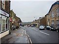
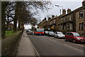
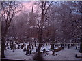
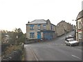
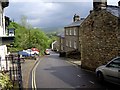
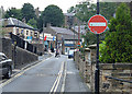
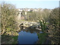
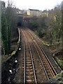
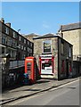
97 photos from this area
Area Information
Key information about the SK22 4LA including its size, population, and administrative classification.
- Area Type
- Postcode
- Area Size
- 1.3 hectares
- Population
- 1501
- Population Density
- 3624 people/km²
House Prices in SK22 4LA
41
Properties
£129,391
Average Sold Price
£17,500
Lowest Price
£230,000
Highest Price
Showing 41 properties
| Address | Type | Beds | Baths | Last Sale Price | Last Sale Date | |
|---|---|---|---|---|---|---|
| 80 Peak Road, New Mills, SK22 4LA | house | 3 | 2 | £230,000 | Jul 2025 | |
| 63 Peak Road, New Mills, SK22 4LA | house | - | - | £195,000 | Dec 2022 | |
| 82 Peak Road, New Mills, SK22 4LA | Semi-detached | 4 | 1 | £180,000 | Mar 2020 | |
| 73 Peak Road, New Mills, SK22 4LA | house | - | - | £132,000 | Apr 2019 | |
| 59 Peak Road, New Mills, SK22 4LA | Semi-detached | 2 | 1 | £150,000 | Dec 2017 | |
| 76 Peak Road, New Mills, SK22 4LA | house | - | - | £112,500 | Jan 2017 | |
| Marick, 71 Peak Road, New Mills, SK22 4LA | house | - | - | £105,000 | Jun 2012 | |
| 67 Peak Road, New Mills, SK22 4LA | Semi-detached | - | - | £101,000 | Aug 2008 | |
| 88 Peak Road, New Mills, SK22 4LA | house | - | - | £92,000 | Sep 2006 | |
| 74 Peak Road, New Mills, SK22 4LA | house | - | - | £108,300 | Sep 2005 |
Page 1 of 5
Energy Efficiency in SK22 4LA
Amenities
Schools
| Rank | School | Type | Entry gender | Ages |
|---|
Explore more schools in this area
Go to Schools tabDemographics
Household Size
Family (3-5 people)
most common
Accommodation Type
Houses
most common
Tenure
51
majority
Ethnic Group
White
most common
Religion
N/A
most common
Household Composition
N/A
most common
Age
47
median
Adults (30-64 years)
most common
Household Deprivation
N/A
with no deprivation
NS-SEC
23
in Lower managerial occupations
Explore more demographic insights in this area
Go to Demographics tabPlanning
Planning Constraints
- Flood RiskPremium
- Ramsar Wetland SitesPremium
- Area of Outstanding Natural BeautyPremium
- Protected Nature ReservePremium
- Protected WoodlandPremium