Area Overview for SK22 4JY
Photos of SK22 4JY

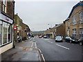
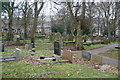
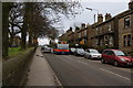
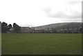
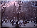
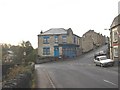
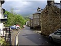
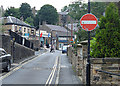
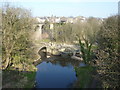
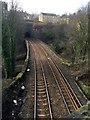
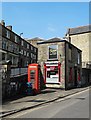
97 photos from this area
Area Information
Key information about the SK22 4JY including its size, population, and administrative classification.
- Area Type
- Postcode
- Area Size
- 2.4 hectares
- Population
- 1501
- Population Density
- 3624 people/km²
House Prices in SK22 4JY
31
Properties
£149,664
Average Sold Price
£100,000
Lowest Price
£288,500
Highest Price
Showing 31 properties
| Address | Type | Beds | Baths | Last Sale Price | Last Sale Date | |
|---|---|---|---|---|---|---|
| 29 St Georges Road, New Mills, SK22 4JY | Semi-detached | 3 | 1 | £288,500 | Nov 2024 | |
| 5 St Georges Road, New Mills, SK22 4JY | Bungalow | 2 | 1 | £205,000 | Oct 2023 | |
| 45 St Georges Road, New Mills, SK22 4JY | house | - | - | £100,000 | Jul 2012 | |
| 27 St Georges Road, New Mills, SK22 4JY | Semi-detached | - | - | £115,000 | Nov 2010 | |
| 53 St Georges Road, New Mills, SK22 4JY | house | 2 | - | £103,200 | Sep 2010 | |
| 1 St Georges Road, New Mills, SK22 4JY | Retail | 3 | 1 | £119,950 | Sep 2005 | |
| 31 St Georges Road, New Mills, SK22 4JY | house | 2 | 1 | £116,000 | Jun 2005 | |
| 7 St Georges Road, New Mills, SK22 4JY | Bungalow | - | - | - | - | |
| 15 St Georges Road, New Mills, SK22 4JY | Bungalow | - | - | - | - | |
| 35 St Georges Road, New Mills, SK22 4JY | house | - | - | - | - |
Page 1 of 4
Energy Efficiency in SK22 4JY
Amenities
Schools
| Rank | School | Type | Entry gender | Ages |
|---|
Explore more schools in this area
Go to Schools tabDemographics
Household Size
Family (3-5 people)
most common
Accommodation Type
Houses
most common
Tenure
51
majority
Ethnic Group
White
most common
Religion
N/A
most common
Household Composition
N/A
most common
Age
47
median
Adults (30-64 years)
most common
Household Deprivation
N/A
with no deprivation
NS-SEC
23
in Lower managerial occupations
Explore more demographic insights in this area
Go to Demographics tabPlanning
Planning Constraints
- Flood RiskPremium
- Ramsar Wetland SitesPremium
- Area of Outstanding Natural BeautyPremium
- Protected Nature ReservePremium
- Protected WoodlandPremium