Area Overview for SK13 7RA
Photos of SK13 7RA
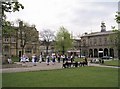
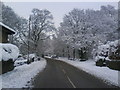
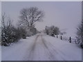
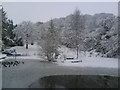
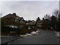
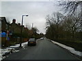
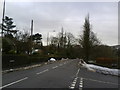
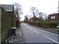
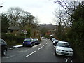
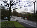
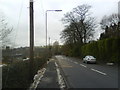
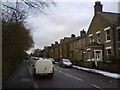
100 photos from this area
Area Information
Key information about the SK13 7RA including its size, population, and administrative classification.
- Area Type
- Postcode
- Area Size
- 4.3 hectares
- Population
- 2161
- Population Density
- 1004 people/km²
House Prices in SK13 7RA
28
Properties
£176,717
Average Sold Price
£51,000
Lowest Price
£292,400
Highest Price
Showing 28 properties
| Address | Type | Beds | Baths | Last Sale Price | Last Sale Date | |
|---|---|---|---|---|---|---|
| 52 Norfolk Street, Glossop, SK13 7RA | Flat | 1 | 1 | £272,500 | Sep 2018 | |
| Norlea, 66 Norfolk Street, Glossop, SK13 7RA | Bungalow | 3 | - | £292,400 | Feb 2016 | |
| 65 Norfolk Street, Glossop, SK13 7RA | Flat | - | - | £147,000 | Aug 2015 | |
| 60 Norfolk Street, Glossop, SK13 7RA | Detached | 5 | - | £275,000 | May 2015 | |
| Barfield, 64 Norfolk Street, Glossop, SK13 7RA | Bungalow | - | - | £235,000 | Sep 2013 | |
| 63 Norfolk Street, Glossop, SK13 7RA | house | - | - | £148,000 | Sep 2013 | |
| 74 Norfolk Street, Glossop, SK13 7RA | house | 4 | - | £260,000 | Sep 2011 | |
| 75 Norfolk Street, Glossop, SK13 7RA | Terraced | - | - | £123,000 | Apr 2011 | |
| 61 Norfolk Street, Glossop, SK13 7RA | Terraced | - | - | £184,000 | Dec 2010 | |
| 73 Norfolk Street, Glossop, SK13 7RA | house | - | - | £215,000 | Jun 2007 |
Page 1 of 3
Energy Efficiency in SK13 7RA
Amenities
Schools
| Rank | School | Type | Entry gender | Ages |
|---|
Explore more schools in this area
Go to Schools tabDemographics
Household Size
Two person
most common
Accommodation Type
Houses
most common
Tenure
90
majority
Ethnic Group
White
most common
Religion
N/A
most common
Household Composition
N/A
most common
Age
47
median
Adults (30-64 years)
most common
Household Deprivation
N/A
with no deprivation
NS-SEC
52
in Lower managerial occupations
Explore more demographic insights in this area
Go to Demographics tabPlanning
Planning Constraints
- Flood RiskPremium
- Ramsar Wetland SitesPremium
- Area of Outstanding Natural BeautyPremium
- Protected Nature ReservePremium
- Protected WoodlandPremium