Area Overview for SK13 2DY
Photos of SK13 2DY
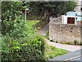
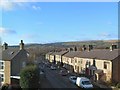
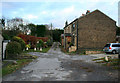
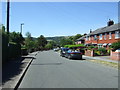
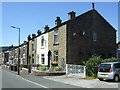
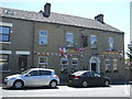
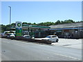
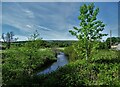

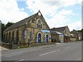
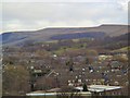
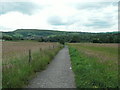
42 photos from this area
Area Information
Key information about the SK13 2DY including its size, population, and administrative classification.
- Area Type
- Postcode
- Area Size
- 3041 m²
- Population
- 1482
- Population Density
- 1573 people/km²
House Prices in SK13 2DY
8
Properties
£171,039
Average Sold Price
£950
Lowest Price
£300,000
Highest Price
Showing 8 properties
| Address | Type | Beds | Baths | Last Sale Price | Last Sale Date | |
|---|---|---|---|---|---|---|
| 77 Green Lane, Hadfield, Glossop, SK13 2DY | house | 3 | 1 | £300,000 | Oct 2024 | |
| 69 Green Lane, Hadfield, Glossop, SK13 2DY | house | - | - | £252,332 | Mar 2023 | |
| 63 Green Lane, Hadfield, Glossop, SK13 2DY | Detached | 3 | 1 | £159,950 | Jan 2019 | |
| 67 Green Lane, Hadfield, Glossop, SK13 2DY | house | - | - | £950 | Jul 2018 | |
| 65 Green Lane, Hadfield, Glossop, SK13 2DY | Semi-detached | 3 | 1 | £185,000 | May 2018 | |
| 75 Green Lane, Hadfield, Glossop, SK13 2DY | house | 3 | 1 | £128,000 | Jul 2015 | |
| 71 Green Lane, Hadfield, Glossop, SK13 2DY | Terraced | 4 | 2 | - | - | |
| 73 Green Lane, Hadfield, Glossop, SK13 2DY | Semi-detached | 3 | 1 | - | - |
Energy Efficiency in SK13 2DY
Amenities
Schools
| Rank | School | Type | Entry gender | Ages |
|---|
Explore more schools in this area
Go to Schools tabDemographics
Household Size
Two person
most common
Accommodation Type
Houses
most common
Tenure
77
majority
Ethnic Group
White
most common
Religion
N/A
most common
Household Composition
N/A
most common
Age
47
median
Adults (30-64 years)
most common
Household Deprivation
N/A
with no deprivation
NS-SEC
33
in Lower managerial occupations
Explore more demographic insights in this area
Go to Demographics tabPlanning
Planning Constraints
- Flood RiskPremium
- Ramsar Wetland SitesPremium
- Area of Outstanding Natural BeautyPremium
- Protected Nature ReservePremium
- Protected WoodlandPremium