Area Overview for SK13 2DX
Photos of SK13 2DX
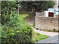
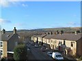
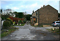
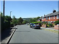
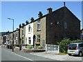
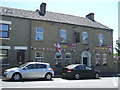
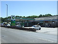
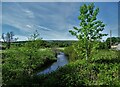
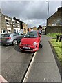
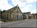
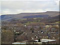
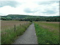
42 photos from this area
Area Information
Key information about the SK13 2DX including its size, population, and administrative classification.
- Area Type
- Postcode
- Area Size
- 6082 m²
- Population
- 1482
- Population Density
- 1573 people/km²
House Prices in SK13 2DX
15
Properties
£186,700
Average Sold Price
£51,000
Lowest Price
£377,000
Highest Price
Showing 15 properties
| Address | Type | Beds | Baths | Last Sale Price | Last Sale Date | |
|---|---|---|---|---|---|---|
| 15 Burnside, Hadfield, Glossop, SK13 2DX | house | - | - | £377,000 | Nov 2021 | |
| 1 Burnside, Hadfield, Glossop, SK13 2DX | house | - | - | £230,000 | Feb 2018 | |
| 9 Burnside, Hadfield, Glossop, SK13 2DX | Semi-detached | 3 | 1 | £168,500 | Nov 2016 | |
| 6 Burnside, Hadfield, Glossop, SK13 2DX | house | - | - | £163,000 | Nov 2015 | |
| 14 Burnside, Hadfield, Glossop, SK13 2DX | Detached | - | - | £205,000 | Sep 2007 | |
| 13 Burnside, Hadfield, Glossop, SK13 2DX | Detached | - | - | £187,500 | Oct 2006 | |
| 7 Burnside, Hadfield, Glossop, SK13 2DX | Terraced | - | - | £150,000 | Aug 2005 | |
| 11 Burnside, Hadfield, Glossop, SK13 2DX | Detached | - | - | £210,000 | Jun 2005 | |
| 3 Burnside, Hadfield, Glossop, SK13 2DX | Terraced | - | - | £125,000 | Aug 2003 | |
| 5 Burnside, Hadfield, Glossop, SK13 2DX | house | 3 | - | £51,000 | Jan 1999 |
Page 1 of 2
Energy Efficiency in SK13 2DX
Amenities
Schools
| Rank | School | Type | Entry gender | Ages |
|---|
Explore more schools in this area
Go to Schools tabDemographics
Household Size
Two person
most common
Accommodation Type
Houses
most common
Tenure
77
majority
Ethnic Group
White
most common
Religion
N/A
most common
Household Composition
N/A
most common
Age
47
median
Adults (30-64 years)
most common
Household Deprivation
N/A
with no deprivation
NS-SEC
33
in Lower managerial occupations
Explore more demographic insights in this area
Go to Demographics tabPlanning
Planning Constraints
- Flood RiskPremium
- Ramsar Wetland SitesPremium
- Area of Outstanding Natural BeautyPremium
- Protected Nature ReservePremium
- Protected WoodlandPremium