Area Overview for S44 6LU
Photos of S44 6LU
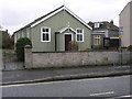
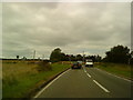
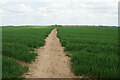
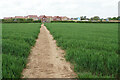
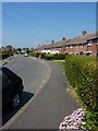
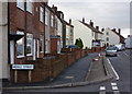
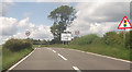
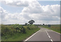
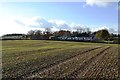
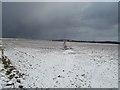
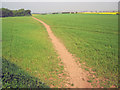
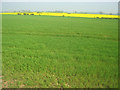
18 photos from this area
Area Information
Key information about the S44 6LU including its size, population, and administrative classification.
- Area Type
- Postcode
- Area Size
- 1.1 hectares
- Population
- 1311
- Population Density
- 243 people/km²
House Prices in S44 6LU
13
Properties
£167,250
Average Sold Price
£25,000
Lowest Price
£365,000
Highest Price
Showing 13 properties
| Address | Type | Beds | Baths | Last Sale Price | Last Sale Date | |
|---|---|---|---|---|---|---|
| 213 Langwith Road, Bolsover, S44 6LU | house | - | - | £365,000 | Sep 2021 | |
| 215 Langwith Road, Bolsover, S44 6LU | Bungalow | - | - | £200,000 | Jul 2021 | |
| 201 Langwith Road, Bolsover, S44 6LU | Bungalow | 3 | 1 | £176,000 | Aug 2018 | |
| 197 Langwith Road, Bolsover, S44 6LU | Bungalow | 2 | 1 | £160,000 | Jan 2018 | |
| 219 Langwith Road, Bolsover, S44 6LU | Bungalow | 3 | 1 | £205,000 | Jun 2017 | |
| 195 Langwith Road, Bolsover, S44 6LU | Detached | 2 | 2 | £130,000 | Nov 2016 | |
| 191 Langwith Road, Bolsover, S44 6LU | Bungalow | 3 | 1 | £77,000 | Mar 2003 | |
| 193 Langwith Road, Bolsover, S44 6LU | Detached | 3 | 2 | £25,000 | Dec 1995 | |
| 199 Langwith Road, Bolsover, S44 6LU | Bungalow | 3 | 1 | - | - | |
| 203 Langwith Road, Bolsover, S44 6LU | Detached | - | - | - | - |
Page 1 of 2
Energy Efficiency in S44 6LU
Amenities
Schools
| Rank | School | Type | Entry gender | Ages |
|---|
Explore more schools in this area
Go to Schools tabDemographics
Household Size
Two person
most common
Accommodation Type
Houses
most common
Tenure
69
majority
Ethnic Group
White
most common
Religion
N/A
most common
Household Composition
N/A
most common
Age
47
median
Adults (30-64 years)
most common
Household Deprivation
N/A
with no deprivation
NS-SEC
26
in Lower managerial occupations
Explore more demographic insights in this area
Go to Demographics tabPlanning
Planning Constraints
- Flood RiskPremium
- Ramsar Wetland SitesPremium
- Area of Outstanding Natural BeautyPremium
- Protected Nature ReservePremium
- Protected WoodlandPremium