Area Overview for S44 6HP
Photos of S44 6HP
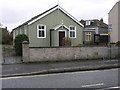
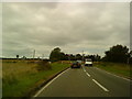
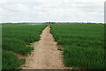
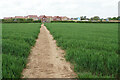
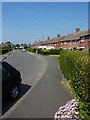
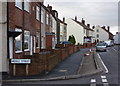
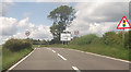
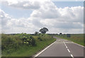
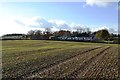
18 photos from this area
Area Information
Key information about the S44 6HP including its size, population, and administrative classification.
- Area Type
- Postcode
- Area Size
- 3.4 hectares
- Population
- 1698
- Population Density
- 2233 people/km²
House Prices in S44 6HP
7
Properties
£129,400
Average Sold Price
£44,000
Lowest Price
£230,000
Highest Price
Showing 7 properties
| Address | Type | Beds | Baths | Last Sale Price | Last Sale Date | |
|---|---|---|---|---|---|---|
| 118 Langwith Road, Bolsover, S44 6HP | Semi-detached | 3 | 1 | £137,000 | Oct 2017 | |
| Dunedin House, Langwith Road, Bolsover, S44 6HP | Detached | - | - | £230,000 | Jun 2016 | |
| 116 Langwith Road, Bolsover, S44 6HP | Semi-detached | 3 | - | £100,000 | Nov 2007 | |
| 114 Langwith Road, Bolsover, S44 6HP | Land | - | - | £136,000 | Sep 2006 | |
| 122 Langwith Road, Bolsover, S44 6HP | Detached | - | - | £44,000 | Sep 1995 | |
| 120 Langwith Road, Bolsover, S44 6HP | Semi-detached | - | - | - | - | |
| Villa-mar Bungalow, Langwith Road, Bolsover, S44 6HP | Bungalow | - | - | - | - |
Energy Efficiency in S44 6HP
Amenities
Schools
| Rank | School | Type | Entry gender | Ages |
|---|
Explore more schools in this area
Go to Schools tabDemographics
Household Size
One person
most common
Accommodation Type
Houses
most common
Tenure
58
majority
Ethnic Group
White
most common
Religion
N/A
most common
Household Composition
N/A
most common
Age
47
median
Adults (30-64 years)
most common
Household Deprivation
N/A
with no deprivation
NS-SEC
22
in Lower managerial occupations
Explore more demographic insights in this area
Go to Demographics tabPlanning
Planning Constraints
- Flood RiskPremium
- Ramsar Wetland SitesPremium
- Area of Outstanding Natural BeautyPremium
- Protected Nature ReservePremium
- Protected WoodlandPremium