Area Overview for S44 6ES
Photos of S44 6ES
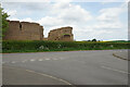
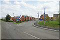
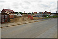
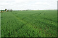
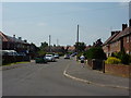
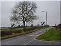
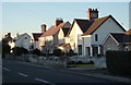
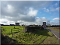
21 photos from this area
Area Information
Key information about the S44 6ES including its size, population, and administrative classification.
- Area Type
- Postcode
- Area Size
- 5988 m²
- Population
- 1698
- Population Density
- 2233 people/km²
House Prices in S44 6ES
10
Properties
£147,233
Average Sold Price
£89,950
Lowest Price
£190,000
Highest Price
Showing 10 properties
| Address | Type | Beds | Baths | Last Sale Price | Last Sale Date | |
|---|---|---|---|---|---|---|
| Walton House, Langstone Avenue, Bolsover, S44 6ES | Semi-detached | 3 | 1 | £140,000 | Sep 2021 | |
| Edge Lea, Langstone Avenue, Bolsover, S44 6ES | Semi-detached | 3 | 1 | £156,000 | Mar 2019 | |
| Granville, Langstone Avenue, Bolsover, S44 6ES | Bungalow | 3 | 1 | £190,000 | May 2017 | |
| Maville, Langstone Avenue, Bolsover, S44 6ES | house | - | - | £89,950 | Aug 2010 | |
| Green Lea, Langstone Avenue, Bolsover, S44 6ES | Bungalow | - | - | £189,950 | Aug 2010 | |
| Richton, Langstone Avenue, Bolsover, S44 6ES | house | - | - | £117,500 | Jul 2010 | |
| Hadfield, Langstone Avenue, Bolsover, S44 6ES | Semi-detached | 3 | 1 | - | - | |
| Hope House, Langstone Avenue, Bolsover, S44 6ES | Semi-detached | - | - | - | - | |
| Moorfield View, Langstone Avenue, Bolsover, S44 6ES | Semi-detached | - | - | - | - | |
| Wyncliffe, Langstone Avenue, Bolsover, S44 6ES | house | - | - | - | - |
Energy Efficiency in S44 6ES
Amenities
Schools
| Rank | School | Type | Entry gender | Ages |
|---|
Explore more schools in this area
Go to Schools tabDemographics
Household Size
One person
most common
Accommodation Type
Houses
most common
Tenure
58
majority
Ethnic Group
White
most common
Religion
N/A
most common
Household Composition
N/A
most common
Age
47
median
Adults (30-64 years)
most common
Household Deprivation
N/A
with no deprivation
NS-SEC
22
in Lower managerial occupations
Explore more demographic insights in this area
Go to Demographics tabPlanning
Planning Constraints
- Flood RiskPremium
- Ramsar Wetland SitesPremium
- Area of Outstanding Natural BeautyPremium
- Protected Nature ReservePremium
- Protected WoodlandPremium