Area Overview for S44 6EP
Photos of S44 6EP
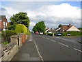
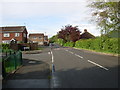
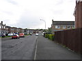
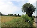
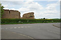
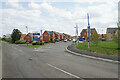
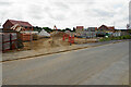
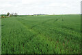
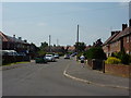
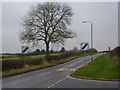
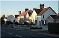
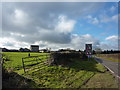
21 photos from this area
Area Information
Key information about the S44 6EP including its size, population, and administrative classification.
- Area Type
- Postcode
- Area Size
- 2.1 hectares
- Population
- 1698
- Population Density
- 2233 people/km²
House Prices in S44 6EP
35
Properties
£155,220
Average Sold Price
£42,675
Lowest Price
£380,000
Highest Price
Showing 35 properties
| Address | Type | Beds | Baths | Last Sale Price | Last Sale Date | |
|---|---|---|---|---|---|---|
| 85 Moor Lane, Bolsover, S44 6EP | Bungalow | 3 | 2 | £280,000 | Apr 2022 | |
| 94 Moor Lane, Bolsover, S44 6EP | Bungalow | - | - | £235,000 | Oct 2021 | |
| 87 Moor Lane, Bolsover, S44 6EP | Bungalow | 3 | 1 | £174,000 | Oct 2021 | |
| 87A Moor Lane, Bolsover, S44 6EP | Bungalow | - | - | £380,000 | Nov 2020 | |
| 95 Moor Lane, Bolsover, S44 6EP | Detached | 4 | 2 | £225,000 | Jan 2020 | |
| 97 Moor Lane, Bolsover, S44 6EP | Detached | 4 | 3 | £240,000 | Nov 2018 | |
| 104 Moor Lane, Bolsover, S44 6EP | Semi-detached | 3 | 1 | £185,000 | Sep 2018 | |
| 99 Moor Lane, Bolsover, S44 6EP | Detached | 4 | 2 | £235,000 | Mar 2018 | |
| 112 Moor Lane, Bolsover, S44 6EP | Semi-detached | 3 | 2 | £120,000 | Dec 2016 | |
| 106 Moor Lane, Bolsover, S44 6EP | Semi-detached | 3 | 1 | £150,000 | Oct 2015 |
Page 1 of 4
Energy Efficiency in S44 6EP
Amenities
Schools
| Rank | School | Type | Entry gender | Ages |
|---|
Explore more schools in this area
Go to Schools tabDemographics
Household Size
One person
most common
Accommodation Type
Houses
most common
Tenure
58
majority
Ethnic Group
White
most common
Religion
N/A
most common
Household Composition
N/A
most common
Age
47
median
Adults (30-64 years)
most common
Household Deprivation
N/A
with no deprivation
NS-SEC
22
in Lower managerial occupations
Explore more demographic insights in this area
Go to Demographics tabPlanning
Planning Constraints
- Flood RiskPremium
- Ramsar Wetland SitesPremium
- Area of Outstanding Natural BeautyPremium
- Protected Nature ReservePremium
- Protected WoodlandPremium