Area Overview for S44 6DR
Photos of S44 6DR
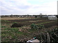
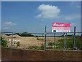
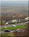
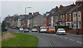
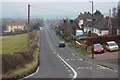
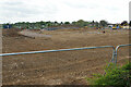
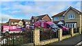
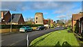
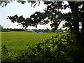
27 photos from this area
Area Information
Key information about the S44 6DR including its size, population, and administrative classification.
- Area Type
- Postcode
- Area Size
- 1.4 hectares
- Population
- 1300
- Population Density
- 250 people/km²
House Prices in S44 6DR
42
Properties
£86,590
Average Sold Price
£33,500
Lowest Price
£149,950
Highest Price
Showing 42 properties
| Address | Type | Beds | Baths | Last Sale Price | Last Sale Date | |
|---|---|---|---|---|---|---|
| 22 Stratton Road, Bolsover, S44 6DR | Terraced | 2 | 1 | £149,950 | Oct 2024 | |
| 30 Stratton Road, Bolsover, S44 6DR | Terraced | 2 | - | £100,000 | Feb 2019 | |
| 6A Stratton Road, Bolsover, S44 6DR | Semi-detached | 2 | 1 | £138,000 | Jan 2018 | |
| 13 Stratton Road, Bolsover, S44 6DR | Semi-detached | 2 | 1 | £100,000 | Jan 2015 | |
| 36 Stratton Road, Bolsover, S44 6DR | Semi-detached | 4 | 2 | £130,000 | Apr 2013 | |
| 25 Stratton Road, Bolsover, S44 6DR | house | - | - | £65,000 | Nov 2009 | |
| 24 Stratton Road, Bolsover, S44 6DR | Terraced | - | - | £42,500 | Nov 2001 | |
| 12 Stratton Road, Bolsover, S44 6DR | Detached | - | - | £67,000 | Oct 2001 | |
| 33 Stratton Road, Bolsover, S44 6DR | Semi-detached | - | - | £39,950 | Dec 2000 | |
| 32 Stratton Road, Bolsover, S44 6DR | Terraced | - | - | £33,500 | Nov 1997 |
Page 1 of 5
Energy Efficiency in S44 6DR
Amenities
Schools
| Rank | School | Type | Entry gender | Ages |
|---|
Explore more schools in this area
Go to Schools tabDemographics
Household Size
Two person
most common
Accommodation Type
Houses
most common
Tenure
60
majority
Ethnic Group
White
most common
Religion
N/A
most common
Household Composition
N/A
most common
Age
47
median
Adults (30-64 years)
most common
Household Deprivation
N/A
with no deprivation
NS-SEC
28
in Lower managerial occupations
Explore more demographic insights in this area
Go to Demographics tabPlanning
Planning Constraints
- Flood RiskPremium
- Ramsar Wetland SitesPremium
- Area of Outstanding Natural BeautyPremium
- Protected Nature ReservePremium
- Protected WoodlandPremium