Area Overview for S44 5UP
Photos of S44 5UP
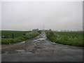
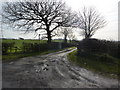
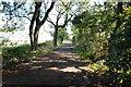
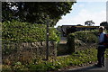
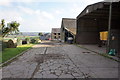
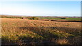
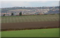
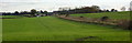
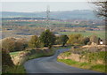
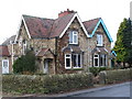
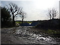
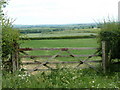
20 photos from this area
Area Information
Key information about the S44 5UP including its size, population, and administrative classification.
- Area Type
- Postcode
- Area Size
- 3.9 hectares
- Population
- 1636
- Population Density
- 112 people/km²
House Prices in S44 5UP
10
Properties
£309,988
Average Sold Price
£249,950
Lowest Price
£425,000
Highest Price
Showing 10 properties
| Address | Type | Beds | Baths | Last Sale Price | Last Sale Date | |
|---|---|---|---|---|---|---|
| The Beeches, Sutton Lane, Sutton Scarsdale, S44 5UP | Bungalow | - | - | £425,000 | Jun 2021 | |
| Kyloe Cottage, Sutton Lane, Sutton Scarsdale, S44 5UP | house | - | - | £285,000 | Mar 2021 | |
| Bluebell Cottage, Sutton Lane, Sutton Scarsdale, S44 5UP | Detached | 3 | 2 | £249,950 | Mar 2019 | |
| Rosewood Cottage, Sutton Lane, Sutton Scarsdale, S44 5UP | house | - | - | £280,000 | Oct 2018 | |
| Chestnut Grange, Sutton Lane, Sutton Scarsdale, S44 5UP | Detached | 2 | 1 | - | - | |
| Waverley, Sutton Lane, Sutton Scarsdale, S44 5UP | Detached | - | - | - | - | |
| Stoneleigh, Sutton Lane, Sutton Scarsdale, S44 5UP | Detached | - | - | - | - | |
| The Homestead, Sutton Lane, Sutton Scarsdale, S44 5UP | Semi-detached | - | - | - | - | |
| The Flat, Derbyshire Packaging, Sutton Lane, Sutton Scarsdale, S44 5UP | Detached | 3 | 2 | - | - | |
| Wisteria Cottage, Sutton Lane, Sutton Scarsdale, S44 5UP | Detached | - | - | - | - |
Energy Efficiency in S44 5UP
Amenities
Schools
| Rank | School | Type | Entry gender | Ages |
|---|
Explore more schools in this area
Go to Schools tabDemographics
Household Size
Two person
most common
Accommodation Type
Houses
most common
Tenure
73
majority
Ethnic Group
White
most common
Religion
N/A
most common
Household Composition
N/A
most common
Age
47
median
Adults (30-64 years)
most common
Household Deprivation
N/A
with no deprivation
NS-SEC
29
in Lower managerial occupations
Explore more demographic insights in this area
Go to Demographics tabPlanning
Planning Constraints
- Flood RiskPremium
- Ramsar Wetland SitesPremium
- Area of Outstanding Natural BeautyPremium
- Protected Nature ReservePremium
- Protected WoodlandPremium