Area Overview for S44 5QA
Photos of S44 5QA
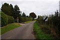
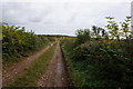
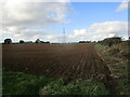
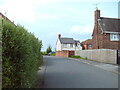
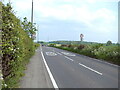
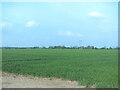
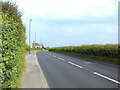
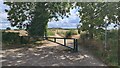
45 photos from this area
Area Information
Key information about the S44 5QA including its size, population, and administrative classification.
- Area Type
- Postcode
- Area Size
- 8.3 hectares
- Population
- 1561
- Population Density
- 498 people/km²
House Prices in S44 5QA
41
Properties
£176,753
Average Sold Price
£40,500
Lowest Price
£310,000
Highest Price
Showing 41 properties
| Address | Type | Beds | Baths | Last Sale Price | Last Sale Date | |
|---|---|---|---|---|---|---|
| 73 Mansfield Road, Glapwell, S44 5QA | house | 3 | 1 | £225,000 | Sep 2025 | |
| 7 Mansfield Road, Glapwell, S44 5QA | Semi-detached | 3 | 1 | £201,500 | Jun 2025 | |
| 2A Mansfield Road, Glapwell, S44 5QA | Detached | 3 | 2 | £264,000 | Apr 2025 | |
| 67 Mansfield Road, Glapwell, S44 5QA | Detached | 3 | 1 | £310,000 | Aug 2024 | |
| 1 Mansfield Road, Glapwell, S44 5QA | Detached | 5 | 3 | £190,000 | Jul 2024 | |
| 21 Mansfield Road, Glapwell, S44 5QA | Semi-detached | 3 | 1 | £200,000 | Apr 2024 | |
| 39 Mansfield Road, Glapwell, S44 5QA | Bungalow | 3 | 2 | £299,950 | Aug 2023 | |
| 77 Mansfield Road, Glapwell, S44 5QA | house | - | - | £249,950 | Aug 2023 | |
| 83 Mansfield Road, Glapwell, S44 5QA | Detached | 3 | 2 | £260,000 | Jun 2023 | |
| 9 Mansfield Road, Glapwell, S44 5QA | Detached | 4 | 2 | £167,000 | Oct 2022 |
Page 1 of 5
Energy Efficiency in S44 5QA
Amenities
Schools
| Rank | School | Type | Entry gender | Ages |
|---|
Explore more schools in this area
Go to Schools tabDemographics
Household Size
Two person
most common
Accommodation Type
Houses
most common
Tenure
73
majority
Ethnic Group
White
most common
Religion
N/A
most common
Household Composition
N/A
most common
Age
47
median
Adults (30-64 years)
most common
Household Deprivation
N/A
with no deprivation
NS-SEC
28
in Lower managerial occupations
Explore more demographic insights in this area
Go to Demographics tabPlanning
Planning Constraints
- Flood RiskPremium
- Ramsar Wetland SitesPremium
- Area of Outstanding Natural BeautyPremium
- Protected Nature ReservePremium
- Protected WoodlandPremium