Area Overview for PE9 2SF
Photos of PE9 2SF
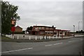
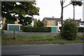
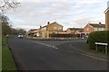
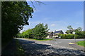
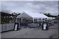
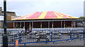
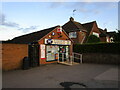
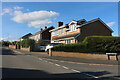
41 photos from this area
Area Information
Key information about the PE9 2SF including its size, population, and administrative classification.
- Area Type
- Postcode
- Area Size
- 1.4 hectares
- Population
- 2503
- Population Density
- 1444 people/km²
House Prices in PE9 2SF
14
Properties
£247,875
Average Sold Price
£93,000
Lowest Price
£592,000
Highest Price
Showing 14 properties
| Address | Type | Beds | Baths | Last Sale Price | Last Sale Date | |
|---|---|---|---|---|---|---|
| 108 Lonsdale Road, Stamford, PE9 2SF | house | 4 | 1 | £483,000 | Aug 2024 | |
| 113 Lonsdale Road, Stamford, PE9 2SF | Retail | 3 | 1 | £325,000 | May 2022 | |
| 110 Lonsdale Road, Stamford, PE9 2SF | house | - | - | £592,000 | Jan 2021 | |
| 119 Lonsdale Road, Stamford, PE9 2SF | Detached | 3 | 1 | £182,500 | Feb 2014 | |
| 115 Lonsdale Road, Stamford, PE9 2SF | Semi-detached | 3 | 1 | £95,500 | Oct 2002 | |
| 117 Lonsdale Road, Stamford, PE9 2SF | Semi-detached | - | - | £93,000 | Aug 2002 | |
| 121 Lonsdale Road, Stamford, PE9 2SF | Semi-detached | - | - | £97,000 | Apr 2001 | |
| 106 Lonsdale Road, Stamford, PE9 2SF | Detached | - | - | £115,000 | Jul 1997 | |
| 107 Lonsdale Road, Stamford, PE9 2SF | Detached | 3 | 1 | - | - | |
| 105 Lonsdale Road, Stamford, PE9 2SF | Detached | - | - | - | - |
Page 1 of 2
Energy Efficiency in PE9 2SF
Amenities
Schools
| Rank | School | Type | Entry gender | Ages |
|---|
Explore more schools in this area
Go to Schools tabDemographics
Household Size
Two person
most common
Accommodation Type
Houses
most common
Tenure
84
majority
Ethnic Group
White
most common
Religion
N/A
most common
Household Composition
N/A
most common
Age
47
median
Adults (30-64 years)
most common
Household Deprivation
N/A
with no deprivation
NS-SEC
47
in Lower managerial occupations
Explore more demographic insights in this area
Go to Demographics tabPlanning
Planning Constraints
- Flood RiskPremium
- Ramsar Wetland SitesPremium
- Area of Outstanding Natural BeautyPremium
- Protected Nature ReservePremium
- Protected WoodlandPremium