Area Overview for PE21 9JE
Photos of PE21 9JE
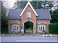
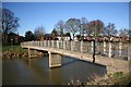
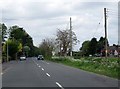
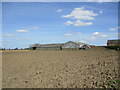
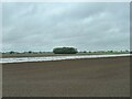
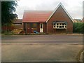
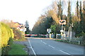
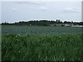
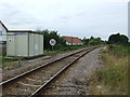
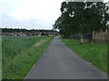
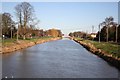
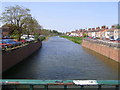
12 photos from this area
Area Information
Key information about the PE21 9JE including its size, population, and administrative classification.
- Area Type
- Postcode
- Area Size
- 9126 m²
- Population
- 1439
- Population Density
- 964 people/km²
House Prices in PE21 9JE
29
Properties
£116,646
Average Sold Price
£33,800
Lowest Price
£224,000
Highest Price
Showing 29 properties
| Address | Type | Beds | Baths | Last Sale Price | Last Sale Date | |
|---|---|---|---|---|---|---|
| 1 Parsons Drive, Boston, PE21 9JE | Semi-detached | 3 | 1 | £158,000 | Nov 2025 | |
| 23 Parsons Drive, Boston, PE21 9JE | house | 3 | - | £180,000 | Oct 2022 | |
| 11 Parsons Drive, Boston, PE21 9JE | Semi-detached | 2 | 1 | £145,000 | Apr 2022 | |
| 24 Parsons Drive, Boston, PE21 9JE | Semi-detached | 3 | 1 | £150,000 | Nov 2021 | |
| 26 Parsons Drive, Boston, PE21 9JE | Detached | 4 | 2 | £224,000 | Jul 2021 | |
| 7 Parsons Drive, Boston, PE21 9JE | Semi-detached | 2 | 1 | £125,000 | Jul 2020 | |
| 20 Parsons Drive, Boston, PE21 9JE | Semi-detached | 2 | 1 | £114,500 | Apr 2017 | |
| 3 Parsons Drive, Boston, PE21 9JE | house | 3 | 1 | £124,000 | Mar 2017 | |
| 8 Parsons Drive, Boston, PE21 9JE | Detached | 3 | 3 | £154,950 | Mar 2016 | |
| 15 Parsons Drive, Boston, PE21 9JE | Semi-detached | 3 | 1 | £136,500 | Oct 2014 |
Page 1 of 3
Energy Efficiency in PE21 9JE
Amenities
Schools
| Rank | School | Type | Entry gender | Ages |
|---|
Explore more schools in this area
Go to Schools tabDemographics
Household Size
Two person
most common
Accommodation Type
Houses
most common
Tenure
69
majority
Ethnic Group
White
most common
Religion
N/A
most common
Household Composition
N/A
most common
Age
47
median
Adults (30-64 years)
most common
Household Deprivation
N/A
with no deprivation
NS-SEC
24
in Lower managerial occupations
Explore more demographic insights in this area
Go to Demographics tabPlanning
Planning Constraints
- Flood RiskPremium
- Ramsar Wetland SitesPremium
- Area of Outstanding Natural BeautyPremium
- Protected Nature ReservePremium
- Protected WoodlandPremium