Area Overview for PE20 1LW
Photos of PE20 1LW
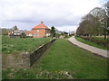
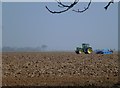
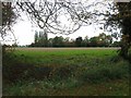
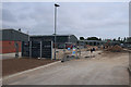
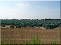
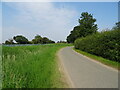
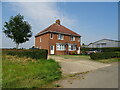
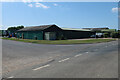
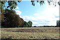
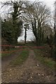
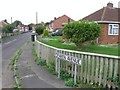
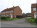
12 photos from this area
Area Information
Key information about the PE20 1LW including its size, population, and administrative classification.
- Area Type
- Postcode
- Area Size
- 3.3 hectares
- Population
- 2808
- Population Density
- 179 people/km²
House Prices in PE20 1LW
23
Properties
£137,075
Average Sold Price
£29,500
Lowest Price
£250,000
Highest Price
Showing 23 properties
| Address | Type | Beds | Baths | Last Sale Price | Last Sale Date | |
|---|---|---|---|---|---|---|
| 63 Horseshoe Lane, Kirton, Boston, PE20 1LW | Bungalow | 3 | 1 | £242,000 | Jul 2022 | |
| 53 Horseshoe Lane, Kirton, Boston, PE20 1LW | Bungalow | - | - | £128,000 | Jul 2018 | |
| 61 Horseshoe Lane, Kirton, Boston, PE20 1LW | Terraced | 2 | 1 | £29,500 | Dec 2009 | |
| 65 Horseshoe Lane, Kirton, Boston, PE20 1LW | Terraced | - | - | £250,000 | Oct 2006 | |
| Whiteloaf Cottage, 57 Horseshoe Lane, Kirton, Boston, PE20 1LW | Detached | - | - | £128,000 | May 2005 | |
| Wayside, Horseshoe Lane, Kirton, Boston, PE20 1LW | Detached | - | - | £44,950 | Apr 2001 | |
| 61A Horseshoe Lane, Kirton, Boston, PE20 1LW | Terraced | 2 | 1 | - | - | |
| 61B Horseshoe Lane, Kirton, Boston, PE20 1LW | Detached | 4 | 2 | - | - | |
| 59 Horseshoe Lane, Kirton, Boston, PE20 1LW | Detached | - | - | - | - | |
| 54 Horseshoe Lane, Kirton, Boston, PE20 1LW | Bungalow | - | - | - | - |
Page 1 of 3
Energy Efficiency in PE20 1LW
Amenities
Schools
| Rank | School | Type | Entry gender | Ages |
|---|
Explore more schools in this area
Go to Schools tabDemographics
Household Size
Family (3-5 people)
most common
Accommodation Type
Houses
most common
Tenure
49
majority
Ethnic Group
White
most common
Religion
N/A
most common
Household Composition
N/A
most common
Age
47
median
Adults (30-64 years)
most common
Household Deprivation
N/A
with no deprivation
NS-SEC
18
in Lower managerial occupations
Explore more demographic insights in this area
Go to Demographics tabPlanning
Planning Constraints
- Flood RiskPremium
- Ramsar Wetland SitesPremium
- Area of Outstanding Natural BeautyPremium
- Protected Nature ReservePremium
- Protected WoodlandPremium