Area Overview for PE11 3LJ
Photos of PE11 3LJ
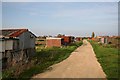

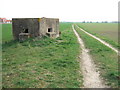
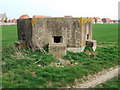
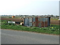
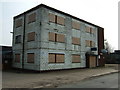
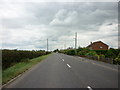
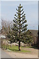
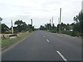
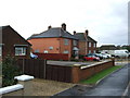

22 photos from this area
Area Information
Key information about the PE11 3LJ including its size, population, and administrative classification.
- Area Type
- Postcode
- Area Size
- 3.6 hectares
- Population
- 1464
- Population Density
- 312 people/km²
House Prices in PE11 3LJ
56
Properties
£148,412
Average Sold Price
£43,250
Lowest Price
£365,000
Highest Price
Showing 56 properties
| Address | Type | Beds | Baths | Last Sale Price | Last Sale Date | |
|---|---|---|---|---|---|---|
| 153 Bourne Road, Spalding, PE11 3LJ | Semi-detached | 2 | 1 | £135,000 | Feb 2025 | |
| 203A Bourne Road, Spalding, PE11 3LJ | Bungalow | 3 | 1 | £212,000 | May 2023 | |
| 121 Bourne Road, Spalding, PE11 3LJ | Chalet | 3 | 2 | £252,000 | Feb 2023 | |
| 203 Bourne Road, Spalding, PE11 3LJ | Bungalow | 3 | 2 | £365,000 | Nov 2022 | |
| 119 Bourne Road, Spalding, PE11 3LJ | house | - | - | £143,000 | Nov 2021 | |
| 193 Bourne Road, Spalding, PE11 3LJ | Detached | 4 | 2 | £330,000 | Sep 2021 | |
| 145 Bourne Road, Spalding, PE11 3LJ | house | - | - | £178,000 | Jul 2021 | |
| 147 Bourne Road, Spalding, PE11 3LJ | house | 3 | - | £167,000 | May 2021 | |
| 159 Bourne Road, Spalding, PE11 3LJ | house | - | - | £255,000 | Feb 2021 | |
| 137 Bourne Road, Spalding, PE11 3LJ | Bungalow | 2 | 1 | £145,000 | Dec 2020 |
Page 1 of 6
Energy Efficiency in PE11 3LJ
Amenities
Schools
| Rank | School | Type | Entry gender | Ages |
|---|
Explore more schools in this area
Go to Schools tabDemographics
Household Size
Two person
most common
Accommodation Type
Houses
most common
Tenure
83
majority
Ethnic Group
White
most common
Religion
N/A
most common
Household Composition
N/A
most common
Age
47
median
Adults (30-64 years)
most common
Household Deprivation
N/A
with no deprivation
NS-SEC
26
in Lower managerial occupations
Explore more demographic insights in this area
Go to Demographics tabPlanning
Planning Constraints
- Flood RiskPremium
- Ramsar Wetland SitesPremium
- Area of Outstanding Natural BeautyPremium
- Protected Nature ReservePremium
- Protected WoodlandPremium