Area Overview for PE11 3JA
Photos of PE11 3JA
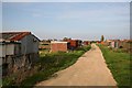
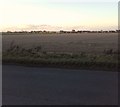
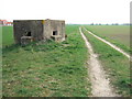
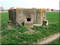
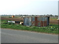
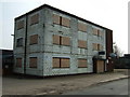
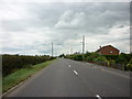
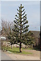

22 photos from this area
Area Information
Key information about the PE11 3JA including its size, population, and administrative classification.
- Area Type
- Postcode
- Area Size
- 57.2 hectares
- Population
- 2395
- Population Density
- 1811 people/km²
House Prices in PE11 3JA
49
Properties
£146,819
Average Sold Price
£35,000
Lowest Price
£495,000
Highest Price
Showing 49 properties
| Address | Type | Beds | Baths | Last Sale Price | Last Sale Date | |
|---|---|---|---|---|---|---|
| The Beeches, Horseshoe Road, Spalding, PE11 3JA | Bungalow | 3 | 2 | £300,000 | Mar 2025 | |
| 35 Horseshoe Road, Spalding, PE11 3JA | house | 2 | 1 | £165,000 | Sep 2024 | |
| 31 Horseshoe Road, Spalding, PE11 3JA | Semi-detached | 3 | 1 | £210,000 | Jan 2023 | |
| Ranmore, Horseshoe Road, Spalding, PE11 3JA | house | - | - | £495,000 | Feb 2022 | |
| 21 Horseshoe Road, Spalding, PE11 3JA | house | - | - | £179,950 | Sep 2021 | |
| Lealands, Horseshoe Road, Spalding, PE11 3JA | Bungalow | 3 | 2 | £370,000 | Jul 2021 | |
| Clover Fields, Horseshoe Road, Spalding, PE11 3JA | Detached | - | - | £120,000 | May 2021 | |
| The Poplars, Horseshoe Road, Spalding, PE11 3JA | house | - | - | £87,269 | Mar 2021 | |
| 9 Horseshoe Road, Spalding, PE11 3JA | Terraced | 2 | 1 | £152,500 | Mar 2020 | |
| 37 Horseshoe Road, Spalding, PE11 3JA | house | - | - | £138,000 | Dec 2019 |
Page 1 of 5
Energy Efficiency in PE11 3JA
Amenities
Schools
| Rank | School | Type | Entry gender | Ages |
|---|
Explore more schools in this area
Go to Schools tabDemographics
Household Size
Family (3-5 people)
most common
Accommodation Type
Houses
most common
Tenure
72
majority
Ethnic Group
White
most common
Religion
N/A
most common
Household Composition
N/A
most common
Age
47
median
Adults (30-64 years)
most common
Household Deprivation
N/A
with no deprivation
NS-SEC
29
in Lower managerial occupations
Explore more demographic insights in this area
Go to Demographics tabPlanning
Planning Constraints
- Flood RiskPremium
- Ramsar Wetland SitesPremium
- Area of Outstanding Natural BeautyPremium
- Protected Nature ReservePremium
- Protected WoodlandPremium