Area Overview for PE11 2AX
Photos of PE11 2AX
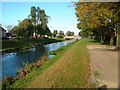
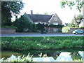
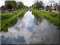
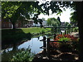
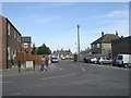
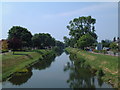
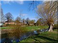
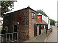
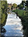
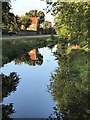


54 photos from this area
Area Information
Key information about the PE11 2AX including its size, population, and administrative classification.
- Area Type
- Postcode
- Area Size
- 3.3 hectares
- Population
- 1369
- Population Density
- 761 people/km²
House Prices in PE11 2AX
60
Properties
£113,648
Average Sold Price
£31,000
Lowest Price
£165,000
Highest Price
Showing 60 properties
| Address | Type | Beds | Baths | Last Sale Price | Last Sale Date | |
|---|---|---|---|---|---|---|
| 13 Willesby Road, Spalding, PE11 2AX | Terraced | 3 | 1 | £165,000 | Feb 2024 | |
| 38 Willesby Road, Spalding, PE11 2AX | Bungalow | 2 | 1 | £125,000 | Oct 2023 | |
| 19 Willesby Road, Spalding, PE11 2AX | house | - | - | £157,500 | Jul 2021 | |
| 12 Willesby Road, Spalding, PE11 2AX | house | - | - | £138,000 | Jun 2020 | |
| 35 Willesby Road, Spalding, PE11 2AX | Bungalow | 2 | 1 | £120,000 | Sep 2019 | |
| 1A Willesby Road, Spalding, PE11 2AX | house | - | - | £157,000 | May 2017 | |
| 23 Willesby Road, Spalding, PE11 2AX | house | - | - | £125,000 | Nov 2016 | |
| 52 Willesby Road, Spalding, PE11 2AX | Semi-detached | 3 | 1 | £125,000 | Mar 2016 | |
| 50 Willesby Road, Spalding, PE11 2AX | Bungalow | 2 | 1 | £115,000 | Jan 2016 | |
| 43 Willesby Road, Spalding, PE11 2AX | Terraced | - | - | £113,000 | Apr 2015 |
Page 1 of 6
Energy Efficiency in PE11 2AX
Amenities
Schools
| Rank | School | Type | Entry gender | Ages |
|---|
Explore more schools in this area
Go to Schools tabDemographics
Household Size
Two person
most common
Accommodation Type
Houses
most common
Tenure
81
majority
Ethnic Group
White
most common
Religion
N/A
most common
Household Composition
N/A
most common
Age
47
median
Adults (30-64 years)
most common
Household Deprivation
N/A
with no deprivation
NS-SEC
30
in Lower managerial occupations
Explore more demographic insights in this area
Go to Demographics tabPlanning
Planning Constraints
- Flood RiskPremium
- Ramsar Wetland SitesPremium
- Area of Outstanding Natural BeautyPremium
- Protected Nature ReservePremium
- Protected WoodlandPremium