Area Overview for Northampton
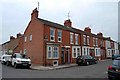
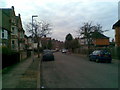
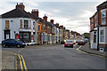
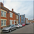
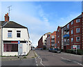
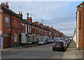
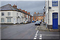
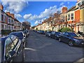
Photos of Northampton


Area Information
Northampton is one of the larger built-up areas in England, covering 60.6 square kilometres and supporting a resident population of 97,705. This density creates a neighbourhood character that feels substantial without becoming an anonymous urban sprawl; the population density stands at 1,611 people per square kilometre. For those considering living in Northampton, the location offers a balance of space and community interaction. It is firmly established as a town or city with defined boundaries, rather than a scattered collection of villages. Residents here experience daily life within a compact footprint where services are inherently accessible. The area does not rely on expansive green belts for space but instead maximises its built-up potential. When you look at homes in Northampton, you are entering a market where local distinctiveness shapes the community identity. The sheer number of residents ensures that public facilities maintain full operation and that social networks remain robust.
- Area Type
- Built Up Area 250
- Area Size
- 60.6 km²
- Population
- 97705
- Population Density
- 1611 people/km²
Daily life in Northampton benefits from a range of amenities within practical reach of residents. Retail choice is solid, with five distinct outlets nearby including Tesco Northampton, Sainsburys Wellingborough, and Aldi Earl. These supermarkets form the backbone of weekly shopping routines for people living in Northampton. Public transport links are well established, centred around the Northampton Bus Interchange and the University Bus Interchange. Buses provide a frequent connection to Wellingborough and the wider university network. Rail travel is anchored by Northampton Railway Station, which links the town to major national destinations. This combination of bus and rail creates a viable commute structure. Residents can reach major shopping hubs and employment centres without relying solely on private vehicles. The presence of these three transport categories ensures that mobility is not a constraint on lifestyle choices.
Amenities
Schools
Families considering schools near Northampton have access to several early years and nursery institutions. The nearest specific facilities include Gloucester Nursery School, Wallace Road Nursery School, Whitehills Nursery School, and Parklands Nursery School. These four establishments operate as nurseries, providing care for the youngest children in the Northampton community. Additionally, complementary education options are available through Complementary Education, though the data does not specify the nature of these services beyond that classification. There is no data included in the report regarding primary, secondary, or high schools within the immediate vicinity or their official Ofsted ratings. Consequently, this analysis can only confirm the presence of nursery-level provision. Residents must check external sources for school ages, key stages, and regulatory grades beyond the nursery level. The availability of multiple nurseries suggests strong demand for early childhood care within the area. Nothing is offered regarding the capacity or waiting lists for these specific schools. Parents should verify the full curriculum and age ranges directly with the institutions.
| Rank | School | Type | Entry gender | Ages |
|---|
Explore more schools in this area
Go to Schools tabDemographics
Understanding the community in Northampton requires a look at the specific age profile and household structures provided for the area. The data indicates a median age of 70, which suggests a significant population of older adults resides in these boundaries. This demographic skew strongly influences the types of homes in demand and the local service requirements. With 62 per cent home ownership, the area leans heavily towards owner-occupied housing rather than social or private rental schemes. This level of proprietorship often correlates with long-term stability for residents who put down roots. The household composition data is recorded as total, reflecting the aggregate make-up of these families and single-person homes. Since specific ethnic group statistics and religious breakdowns are not provided in the source material, the narrative focuses on the measurable ownership trends. A high home ownership rate of 62 per cent means that buying a property is a common pathway for local families. This statistic shapes the commercial landscape, encouraging estate agencies and builders to cater to owner-occupiers first.