Area Overview for NN9 6NH
Photos of NN9 6NH
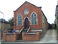
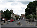
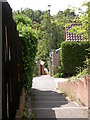
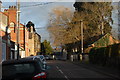
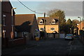

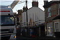
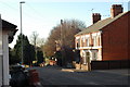
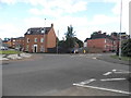
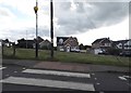
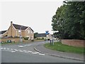

41 photos from this area
Area Information
Key information about the NN9 6NH including its size, population, and administrative classification.
- Area Type
- Postcode
- Area Size
- 9345 m²
- Population
- 2087
- Population Density
- 4533 people/km²
House Prices in NN9 6NH
18
Properties
£157,417
Average Sold Price
£83,000
Lowest Price
£365,000
Highest Price
Showing 18 properties
| Address | Type | Beds | Baths | Last Sale Price | Last Sale Date | |
|---|---|---|---|---|---|---|
| 8, Wesley Court, Hollington Road, Raunds, NN9 6NH | Flat | - | - | £112,500 | Oct 2024 | |
| 12 Hollington Road, Raunds, NN9 6NH | Flat | 1 | - | £142,000 | Aug 2023 | |
| 1, Wesley Court, Hollington Road, Raunds, NN9 6NH | Flat | - | - | £140,000 | May 2023 | |
| Epworth House, Hollington Road, Raunds, NN9 6NH | house | 4 | - | £365,000 | Nov 2021 | |
| 6 Hollington Road, Raunds, NN9 6NH | Office | 1 | - | £135,000 | Oct 2021 | |
| 3, Wesley Court, Hollington Road, Raunds, NN9 6NH | house | 4 | 1 | £245,000 | Feb 2021 | |
| 6, Wesley Court, Hollington Road, Raunds, NN9 6NH | Bungalow | - | - | £102,250 | Aug 2016 | |
| 4, Wesley Court, Hollington Road, Raunds, NN9 6NH | Flat | - | - | £83,000 | Jul 2004 | |
| 7, Wesley Court, Hollington Road, Raunds, NN9 6NH | Flat | 2 | - | £92,000 | Jul 2003 | |
| 2 Hollington Road, Raunds, NN9 6NH | Terraced | 4 | 1 | - | - |
Page 1 of 2
Energy Efficiency in NN9 6NH
Amenities
Schools
| Rank | School | Type | Entry gender | Ages |
|---|
Explore more schools in this area
Go to Schools tabDemographics
Household Size
Two person
most common
Accommodation Type
Houses
most common
Tenure
62
majority
Ethnic Group
White
most common
Religion
N/A
most common
Household Composition
N/A
most common
Age
47
median
Adults (30-64 years)
most common
Household Deprivation
N/A
with no deprivation
NS-SEC
32
in Lower managerial occupations
Explore more demographic insights in this area
Go to Demographics tabPlanning
Planning Constraints
- Flood RiskPremium
- Ramsar Wetland SitesPremium
- Area of Outstanding Natural BeautyPremium
- Protected Nature ReservePremium
- Protected WoodlandPremium