Area Overview for NN6 7WD
Photos of NN6 7WD

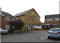
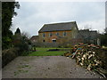
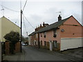
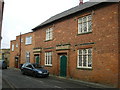
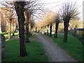
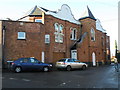
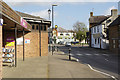
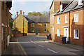
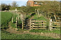
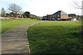
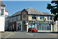
66 photos from this area
Area Information
Key information about the NN6 7WD including its size, population, and administrative classification.
- Area Type
- Postcode
- Area Size
- 4.4 hectares
- Population
- 1926
- Population Density
- 150 people/km²
House Prices in NN6 7WD
29
Properties
£326,689
Average Sold Price
£104,000
Lowest Price
£450,000
Highest Price
Showing 29 properties
| Address | Type | Beds | Baths | Last Sale Price | Last Sale Date | |
|---|---|---|---|---|---|---|
| 10 Manning Way, Long Buckby, NN6 7WD | Semi-detached | 3 | 2 | £330,000 | Sep 2025 | |
| 2 Manning Way, Long Buckby, NN6 7WD | Detached | 2 | 1 | £440,000 | Aug 2024 | |
| 25 Manning Way, Long Buckby, NN6 7WD | Terraced | 2 | 1 | £234,000 | Mar 2024 | |
| 4 Manning Way, Long Buckby, NN6 7WD | Detached | 4 | 2 | £450,000 | Oct 2023 | |
| 7 Manning Way, Long Buckby, NN6 7WD | Detached | 4 | 2 | £417,500 | Jan 2023 | |
| 22 Manning Way, Long Buckby, NN6 7WD | Semi-detached | 3 | 2 | £300,000 | Oct 2022 | |
| 9 Manning Way, Long Buckby, NN6 7WD | Retail | 4 | 3 | £440,000 | Sep 2022 | |
| 3 Manning Way, Long Buckby, NN6 7WD | house | - | - | £435,000 | Mar 2022 | |
| 8 Manning Way, Long Buckby, NN6 7WD | Semi-detached | 3 | 2 | £290,000 | Jan 2022 | |
| 5 Manning Way, Long Buckby, NN6 7WD | Detached | 4 | 3 | £335,000 | Dec 2018 |
Page 1 of 3
Energy Efficiency in NN6 7WD
Amenities
Schools
| Rank | School | Type | Entry gender | Ages |
|---|
Explore more schools in this area
Go to Schools tabDemographics
Household Size
Two person
most common
Accommodation Type
Houses
most common
Tenure
61
majority
Ethnic Group
White
most common
Religion
N/A
most common
Household Composition
N/A
most common
Age
47
median
Adults (30-64 years)
most common
Household Deprivation
N/A
with no deprivation
NS-SEC
37
in Lower managerial occupations
Explore more demographic insights in this area
Go to Demographics tabPlanning
Planning Constraints
- Flood RiskPremium
- Ramsar Wetland SitesPremium
- Area of Outstanding Natural BeautyPremium
- Protected Nature ReservePremium
- Protected WoodlandPremium