Area Overview for NN6 7WA
Photos of NN6 7WA

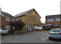
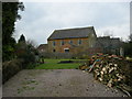
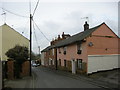
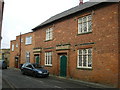
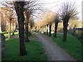
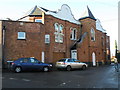
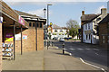
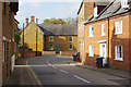
66 photos from this area
Area Information
Key information about the NN6 7WA including its size, population, and administrative classification.
- Area Type
- Postcode
- Area Size
- 3.0 hectares
- Population
- 1926
- Population Density
- 150 people/km²
House Prices in NN6 7WA
36
Properties
£385,580
Average Sold Price
£220,000
Lowest Price
£510,000
Highest Price
Showing 36 properties
| Address | Type | Beds | Baths | Last Sale Price | Last Sale Date | |
|---|---|---|---|---|---|---|
| 10 Bakers Lane, Long Buckby, NN6 7WA | Semi-detached | 3 | 2 | £310,000 | Aug 2025 | |
| 27 Bakers Lane, Long Buckby, NN6 7WA | Detached | 4 | 3 | £510,000 | Jun 2025 | |
| 4 Bakers Lane, Long Buckby, NN6 7WA | Detached | 4 | 2 | £470,000 | May 2025 | |
| 20 Bakers Lane, Long Buckby, NN6 7WA | Retail | 4 | - | £465,000 | Nov 2022 | |
| 15 Bakers Lane, Long Buckby, NN6 7WA | house | - | - | £220,000 | Jan 2022 | |
| 22 Bakers Lane, Long Buckby, NN6 7WA | house | - | - | £418,000 | Dec 2021 | |
| 23 Bakers Lane, Long Buckby, NN6 7WA | house | - | - | £467,500 | Aug 2021 | |
| 19 Bakers Lane, Long Buckby, NN6 7WA | house | - | - | £385,000 | Jun 2021 | |
| 39 Bakers Lane, Long Buckby, NN6 7WA | house | - | - | £470,000 | Jun 2021 | |
| 16 Bakers Lane, Long Buckby, NN6 7WA | Detached | 5 | 2 | £385,000 | Sep 2020 |
Page 1 of 4
Energy Efficiency in NN6 7WA
Amenities
Schools
| Rank | School | Type | Entry gender | Ages |
|---|
Explore more schools in this area
Go to Schools tabDemographics
Household Size
Two person
most common
Accommodation Type
Houses
most common
Tenure
61
majority
Ethnic Group
White
most common
Religion
N/A
most common
Household Composition
N/A
most common
Age
47
median
Adults (30-64 years)
most common
Household Deprivation
N/A
with no deprivation
NS-SEC
37
in Lower managerial occupations
Explore more demographic insights in this area
Go to Demographics tabPlanning
Planning Constraints
- Flood RiskPremium
- Ramsar Wetland SitesPremium
- Area of Outstanding Natural BeautyPremium
- Protected Nature ReservePremium
- Protected WoodlandPremium