Area Overview for NN3 8ST
Photos of NN3 8ST
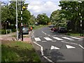
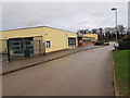
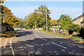
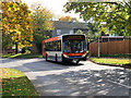
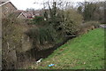
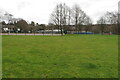
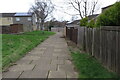
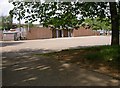
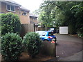
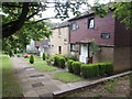

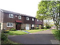
17 photos from this area
Area Information
Key information about the NN3 8ST including its size, population, and administrative classification.
- Area Type
- Postcode
- Area Size
- 2.4 hectares
- Population
- 1832
- Population Density
- 5296 people/km²
House Prices in NN3 8ST
46
Properties
£173,166
Average Sold Price
£37,500
Lowest Price
£320,000
Highest Price
Showing 46 properties
| Address | Type | Beds | Baths | Last Sale Price | Last Sale Date | |
|---|---|---|---|---|---|---|
| 91 Watermeadow Drive, Northampton, NN3 8ST | house | - | - | £272,500 | Jun 2024 | |
| 81 Watermeadow Drive, Northampton, NN3 8ST | Detached | 3 | 1 | £246,000 | Apr 2024 | |
| 65 Watermeadow Drive, Northampton, NN3 8ST | Detached | 4 | 1 | £320,000 | Dec 2022 | |
| 79 Watermeadow Drive, Northampton, NN3 8ST | Retail | 3 | 1 | £260,000 | Apr 2022 | |
| 59 Watermeadow Drive, Northampton, NN3 8ST | house | 3 | 1 | £265,000 | Mar 2022 | |
| 57 Watermeadow Drive, Northampton, NN3 8ST | house | - | - | £280,000 | Sep 2021 | |
| 67 Watermeadow Drive, Northampton, NN3 8ST | Detached | 3 | - | £244,000 | Aug 2021 | |
| 101 Watermeadow Drive, Northampton, NN3 8ST | Detached | 4 | 1 | £237,000 | Jan 2020 | |
| 87 Watermeadow Drive, Northampton, NN3 8ST | house | - | - | £272,500 | Nov 2019 | |
| 63 Watermeadow Drive, Northampton, NN3 8ST | house | - | - | £154,800 | Apr 2019 |
Page 1 of 5
Energy Efficiency in NN3 8ST
Amenities
Schools
| Rank | School | Type | Entry gender | Ages |
|---|
Explore more schools in this area
Go to Schools tabDemographics
Household Size
Family (3-5 people)
most common
Accommodation Type
Houses
most common
Tenure
72
majority
Ethnic Group
White
most common
Religion
N/A
most common
Household Composition
N/A
most common
Age
47
median
Adults (30-64 years)
most common
Household Deprivation
N/A
with no deprivation
NS-SEC
26
in Lower managerial occupations
Explore more demographic insights in this area
Go to Demographics tabPlanning
Planning Constraints
- Flood RiskPremium
- Ramsar Wetland SitesPremium
- Area of Outstanding Natural BeautyPremium
- Protected Nature ReservePremium
- Protected WoodlandPremium