Area Overview for NN3 3LG
Photos of NN3 3LG
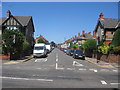
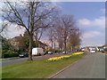
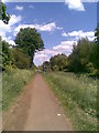
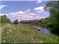
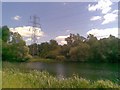
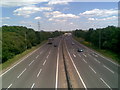
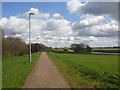
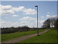
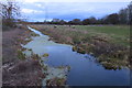
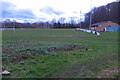
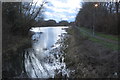
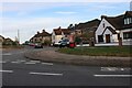
39 photos from this area
Area Information
Key information about the NN3 3LG including its size, population, and administrative classification.
- Area Type
- Postcode
- Area Size
- 1.6 hectares
- Population
- 1330
- Population Density
- 1394 people/km²
House Prices in NN3 3LG
24
Properties
£373,438
Average Sold Price
£125,750
Lowest Price
£735,000
Highest Price
Showing 24 properties
| Address | Type | Beds | Baths | Last Sale Price | Last Sale Date | |
|---|---|---|---|---|---|---|
| 293 Billing Road East, Northampton, NN3 3LG | Bungalow | 2 | 1 | £385,000 | Feb 2024 | |
| 279 Billing Road East, Northampton, NN3 3LG | Detached | 5 | 2 | £735,000 | Dec 2023 | |
| 291 Billing Road East, Northampton, NN3 3LG | house | - | - | £522,000 | Dec 2022 | |
| 289 Billing Road East, Northampton, NN3 3LG | house | - | - | £525,000 | Nov 2022 | |
| 259 Billing Road East, Northampton, NN3 3LG | house | - | - | £495,000 | Nov 2020 | |
| 271 Billing Road East, Northampton, NN3 3LG | house | - | - | £324,468 | Dec 2017 | |
| 283 Billing Road East, Northampton, NN3 3LG | Detached | - | - | £250,000 | Apr 2007 | |
| 265 Billing Road East, Northampton, NN3 3LG | Detached | - | - | £275,000 | Oct 2006 | |
| 285 Billing Road East, Northampton, NN3 3LG | Detached | 3 | 1 | £225,600 | Dec 2005 | |
| 281 Billing Road East, Northampton, NN3 3LG | Detached | 5 | 3 | £245,000 | Oct 2001 |
Page 1 of 3
Energy Efficiency in NN3 3LG
Amenities
Schools
| Rank | School | Type | Entry gender | Ages |
|---|
Explore more schools in this area
Go to Schools tabDemographics
Household Size
Two person
most common
Accommodation Type
Houses
most common
Tenure
88
majority
Ethnic Group
White
most common
Religion
N/A
most common
Household Composition
N/A
most common
Age
47
median
Adults (30-64 years)
most common
Household Deprivation
N/A
with no deprivation
NS-SEC
41
in Lower managerial occupations
Explore more demographic insights in this area
Go to Demographics tabPlanning
Planning Constraints
- Flood RiskPremium
- Ramsar Wetland SitesPremium
- Area of Outstanding Natural BeautyPremium
- Protected Nature ReservePremium
- Protected WoodlandPremium