Area Overview for NN17 1UU
Photos of NN17 1UU
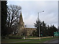
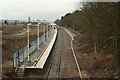
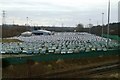
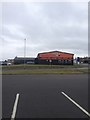
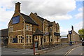
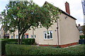
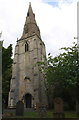
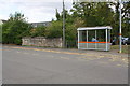
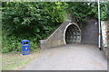
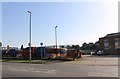
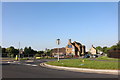
37 photos from this area
Area Information
Key information about the NN17 1UU including its size, population, and administrative classification.
- Area Type
- Postcode
- Area Size
- 2.2 hectares
- Population
- 1873
- Population Density
- 620 people/km²
House Prices in NN17 1UU
37
Properties
£191,996
Average Sold Price
£40,000
Lowest Price
£350,000
Highest Price
Showing 37 properties
| Address | Type | Beds | Baths | Last Sale Price | Last Sale Date | |
|---|---|---|---|---|---|---|
| 81 High Street, Corby, NN17 1UU | Semi-detached | - | - | £350,000 | Aug 2023 | |
| 42 High Street, Corby, NN17 1UU | house | 3 | 1 | £192,000 | Dec 2022 | |
| 40 High Street, Corby, NN17 1UU | house | 1 | 1 | £150,000 | Oct 2018 | |
| 86 High Street, Corby, NN17 1UU | Detached | 3 | 1 | £300,000 | Sep 2017 | |
| 90 High Street, Corby, NN17 1UU | house | - | - | £318,000 | Jun 2017 | |
| 79 High Street, Corby, NN17 1UU | Semi-detached | 2 | - | £195,000 | Jan 2017 | |
| 76 High Street, Corby, NN17 1UU | Terraced | 2 | - | £119,000 | Nov 2015 | |
| 88 High Street, Corby, NN17 1UU | house | - | - | £232,500 | Apr 2012 | |
| 80 High Street, Corby, NN17 1UU | house | - | - | £116,000 | Jan 2011 | |
| 78 High Street, Corby, NN17 1UU | Semi-detached | 3 | 1 | £138,500 | Apr 2008 |
Page 1 of 4
Energy Efficiency in NN17 1UU
Amenities
Schools
| Rank | School | Type | Entry gender | Ages |
|---|
Explore more schools in this area
Go to Schools tabDemographics
Household Size
Two person
most common
Accommodation Type
Houses
most common
Tenure
43
majority
Ethnic Group
White
most common
Religion
N/A
most common
Household Composition
N/A
most common
Age
47
median
Adults (30-64 years)
most common
Household Deprivation
N/A
with no deprivation
NS-SEC
18
in Lower managerial occupations
Explore more demographic insights in this area
Go to Demographics tabPlanning
Planning Constraints
- Flood RiskPremium
- Ramsar Wetland SitesPremium
- Area of Outstanding Natural BeautyPremium
- Protected Nature ReservePremium
- Protected WoodlandPremium