Area Overview for NN17 1HQ
Photos of NN17 1HQ
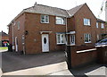
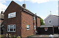
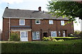
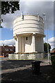
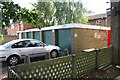
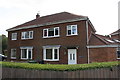
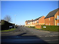
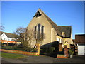
38 photos from this area
Area Information
Key information about the NN17 1HQ including its size, population, and administrative classification.
- Area Type
- Postcode
- Area Size
- 1.6 hectares
- Population
- 1839
- Population Density
- 5807 people/km²
House Prices in NN17 1HQ
52
Properties
£101,468
Average Sold Price
£17,325
Lowest Price
£205,000
Highest Price
Showing 52 properties
| Address | Type | Beds | Baths | Last Sale Price | Last Sale Date | |
|---|---|---|---|---|---|---|
| 93 Westfields Road, Corby, NN17 1HQ | Semi-detached | 3 | 1 | £165,000 | Jun 2025 | |
| 194 Westfields Road, Corby, NN17 1HQ | Semi-detached | 3 | 2 | £195,000 | Apr 2021 | |
| 162 Westfields Road, Corby, NN17 1HQ | house | - | - | £177,000 | Mar 2019 | |
| 152 Westfields Road, Corby, NN17 1HQ | Terraced | 3 | 1 | £163,000 | Sep 2018 | |
| 103 Westfields Road, Corby, NN17 1HQ | Detached | 3 | 2 | £205,000 | Aug 2018 | |
| 105 Westfields Road, Corby, NN17 1HQ | Semi-detached | 3 | 1 | £159,950 | Dec 2017 | |
| 121 Westfields Road, Corby, NN17 1HQ | house | - | - | £159,950 | Dec 2017 | |
| 180 Westfields Road, Corby, NN17 1HQ | Semi-detached | 2 | 1 | £147,500 | Jun 2017 | |
| 111 Westfields Road, Corby, NN17 1HQ | Terraced | 3 | 1 | £148,000 | Mar 2017 | |
| 99 Westfields Road, Corby, NN17 1HQ | house | 2 | - | £125,000 | Oct 2016 |
Page 1 of 6
Energy Efficiency in NN17 1HQ
Amenities
Schools
| Rank | School | Type | Entry gender | Ages |
|---|
Explore more schools in this area
Go to Schools tabDemographics
Household Size
Family (3-5 people)
most common
Accommodation Type
Houses
most common
Tenure
56
majority
Ethnic Group
White
most common
Religion
N/A
most common
Household Composition
N/A
most common
Age
47
median
Adults (30-64 years)
most common
Household Deprivation
N/A
with no deprivation
NS-SEC
18
in Lower managerial occupations
Explore more demographic insights in this area
Go to Demographics tabPlanning
Planning Constraints
- Flood RiskPremium
- Ramsar Wetland SitesPremium
- Area of Outstanding Natural BeautyPremium
- Protected Nature ReservePremium
- Protected WoodlandPremium