Area Overview for NN15 7HY
Photos of NN15 7HY
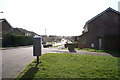
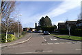
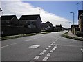

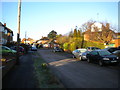
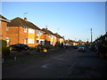
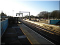
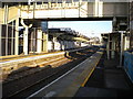
42 photos from this area
Area Information
Key information about the NN15 7HY including its size, population, and administrative classification.
- Area Type
- Postcode
- Area Size
- 3.2 hectares
- Population
- 2263
- Population Density
- 5126 people/km²
House Prices in NN15 7HY
9
Properties
£246,500
Average Sold Price
£183,000
Lowest Price
£349,000
Highest Price
Showing 9 properties
| Address | Type | Beds | Baths | Last Sale Price | Last Sale Date | |
|---|---|---|---|---|---|---|
| 6 Kensington Gardens, Kettering, NN15 7HY | Bungalow | 3 | 2 | £349,000 | Oct 2023 | |
| 5 Kensington Gardens, Kettering, NN15 7HY | Bungalow | - | - | £265,000 | Jul 2017 | |
| 4 Kensington Gardens, Kettering, NN15 7HY | Bungalow | - | - | £262,000 | Sep 2016 | |
| 2 Kensington Gardens, Kettering, NN15 7HY | Bungalow | - | - | £225,000 | Jul 2016 | |
| 1 Kensington Gardens, Kettering, NN15 7HY | Bungalow | - | - | £183,000 | Jul 2012 | |
| 3 Kensington Gardens, Kettering, NN15 7HY | Bungalow | 3 | - | £195,000 | Apr 2009 | |
| 7 Kensington Gardens, Kettering, NN15 7HY | Detached | - | - | - | - | |
| Tennis 156M From 6 Kensington Gardens 146M From Unnamed Road, Kensington Gardens, Kettering, NN15 7HY | Leisure | - | - | - | - | |
| Tennis 66M From 7 Kensington Gardens 58M From Kensington Gardens, Kensington Gardens, Kettering, NN15 7HY | Leisure | - | - | - | - |
Energy Efficiency in NN15 7HY
Amenities
Schools
| Rank | School | Type | Entry gender | Ages |
|---|
Explore more schools in this area
Go to Schools tabDemographics
Household Size
One person
most common
Accommodation Type
Houses
most common
Tenure
56
majority
Ethnic Group
White
most common
Religion
N/A
most common
Household Composition
N/A
most common
Age
47
median
Adults (30-64 years)
most common
Household Deprivation
N/A
with no deprivation
NS-SEC
36
in Lower managerial occupations
Explore more demographic insights in this area
Go to Demographics tabPlanning
Planning Constraints
- Flood RiskPremium
- Ramsar Wetland SitesPremium
- Area of Outstanding Natural BeautyPremium
- Protected Nature ReservePremium
- Protected WoodlandPremium