Area Overview for NN15 6RX
Photos of NN15 6RX
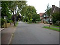
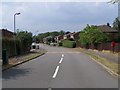
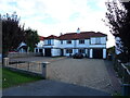
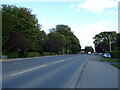
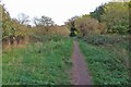
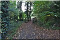
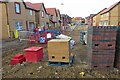
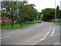
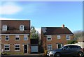
9 photos from this area
Area Information
Key information about the NN15 6RX including its size, population, and administrative classification.
- Area Type
- Postcode
- Area Size
- 10.7 hectares
- Population
- 1576
- Population Density
- 1712 people/km²
House Prices in NN15 6RX
18
Properties
£234,307
Average Sold Price
£72,000
Lowest Price
£407,500
Highest Price
Showing 18 properties
| Address | Type | Beds | Baths | Last Sale Price | Last Sale Date | |
|---|---|---|---|---|---|---|
| 82 Barton Road, Barton Seagrave, NN15 6RX | Semi-detached | 4 | 2 | £407,500 | May 2019 | |
| 86 Barton Road, Barton Seagrave, NN15 6RX | Bungalow | 2 | 1 | £300,000 | Apr 2019 | |
| 84 Barton Road, Barton Seagrave, NN15 6RX | Bungalow | 2 | 1 | £390,000 | Dec 2018 | |
| 88 Barton Road, Barton Seagrave, NN15 6RX | Bungalow | - | - | £275,000 | Jul 2014 | |
| 90 Barton Road, Barton Seagrave, NN15 6RX | Detached | 5 | 3 | £350,000 | Sep 2009 | |
| 70 Barton Road, Barton Seagrave, NN15 6RX | Semi-detached | - | - | £298,000 | Oct 2008 | |
| 68 Barton Road, Barton Seagrave, NN15 6RX | Semi-detached | - | - | £178,000 | Dec 2002 | |
| 16 Barton Road, Barton Seagrave, NN15 6RX | Detached | 3 | 2 | £169,995 | Oct 2002 | |
| 66 Barton Road, Barton Seagrave, NN15 6RX | Semi-detached | - | - | £79,000 | Nov 2000 | |
| 60 Barton Road, Barton Seagrave, NN15 6RX | Detached | - | - | £219,000 | Dec 1999 |
Page 1 of 2
Energy Efficiency in NN15 6RX
Amenities
Schools
| Rank | School | Type | Entry gender | Ages |
|---|
Explore more schools in this area
Go to Schools tabDemographics
Household Size
Two person
most common
Accommodation Type
Houses
most common
Tenure
77
majority
Ethnic Group
White
most common
Religion
N/A
most common
Household Composition
N/A
most common
Age
47
median
Adults (30-64 years)
most common
Household Deprivation
N/A
with no deprivation
NS-SEC
33
in Lower managerial occupations
Explore more demographic insights in this area
Go to Demographics tabPlanning
Planning Constraints
- Flood RiskPremium
- Ramsar Wetland SitesPremium
- Area of Outstanding Natural BeautyPremium
- Protected Nature ReservePremium
- Protected WoodlandPremium