Area Overview for NN12 7SG
Photos of NN12 7SG
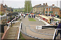
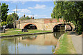
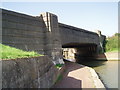
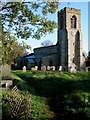
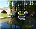
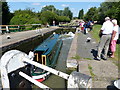
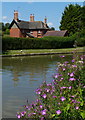
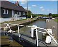
100 photos from this area
Area Information
Key information about the NN12 7SG including its size, population, and administrative classification.
- Area Type
- Postcode
- Area Size
- 15.1 hectares
- Population
- 1840
- Population Density
- 80 people/km²
House Prices in NN12 7SG
10
Properties
£463,125
Average Sold Price
£400,000
Lowest Price
£597,500
Highest Price
Showing 10 properties
| Address | Type | Beds | Baths | Last Sale Price | Last Sale Date | |
|---|---|---|---|---|---|---|
| Peppercorns, Church Lane, Stoke Bruerne, NN12 7SG | house | - | - | £597,500 | Jan 2020 | |
| Saxon Rise, 2 Church Lane, Stoke Bruerne, NN12 7SG | Bungalow | - | - | £400,000 | Nov 2019 | |
| Belmont, Church Lane, Stoke Bruerne, NN12 7SG | house | - | - | £430,000 | Nov 2013 | |
| Honeysuckle, Church Lane, Stoke Bruerne, NN12 7SG | Semi-detached | - | - | £425,000 | Oct 2005 | |
| The Bungalow, 20 Church Lane, Stoke Bruerne, NN12 7SG | Detached | - | - | - | - | |
| Green Pastures, 19A Church Lane, Stoke Bruerne, NN12 7SG | Detached | - | - | - | - | |
| Honeystones, Church Lane, Stoke Bruerne, NN12 7SG | house | - | - | - | - | |
| Woodcote House, Church Lane, Stoke Bruerne, NN12 7SG | house | - | - | - | - | |
| Peppercorns Annexe, Church Lane, Stoke Bruerne, NN12 7SG | Detached | - | - | - | - | |
| The Rosery, Church Lane, Stoke Bruerne, NN12 7SG | house | - | - | - | - |
Energy Efficiency in NN12 7SG
Amenities
Schools
| Rank | School | Type | Entry gender | Ages |
|---|
Explore more schools in this area
Go to Schools tabDemographics
Household Size
Two person
most common
Accommodation Type
Houses
most common
Tenure
76
majority
Ethnic Group
White
most common
Religion
N/A
most common
Household Composition
N/A
most common
Age
47
median
Adults (30-64 years)
most common
Household Deprivation
N/A
with no deprivation
NS-SEC
45
in Lower managerial occupations
Explore more demographic insights in this area
Go to Demographics tabPlanning
Planning Constraints
- Flood RiskPremium
- Ramsar Wetland SitesPremium
- Area of Outstanding Natural BeautyPremium
- Protected Nature ReservePremium
- Protected WoodlandPremium