Area Overview for NN12 7SW
Photos of NN12 7SW
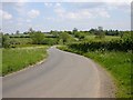
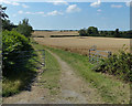
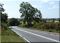
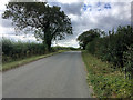
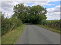
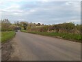
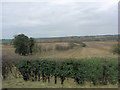
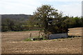
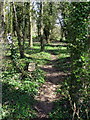
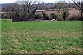
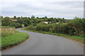
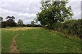
14 photos from this area
Area Information
Key information about the NN12 7SW including its size, population, and administrative classification.
- Area Type
- Postcode
- Area Size
- 1.3 km²
- Population
- 1840
- Population Density
- 80 people/km²
House Prices in NN12 7SW
17
Properties
£426,139
Average Sold Price
£44,000
Lowest Price
£1,080,000
Highest Price
Showing 17 properties
| Address | Type | Beds | Baths | Last Sale Price | Last Sale Date | |
|---|---|---|---|---|---|---|
| 140, Bottom Lock Cottage, Northampton Road, Stoke Bruerne, NN12 7SW | Semi-detached | 2 | 1 | £375,000 | Dec 2024 | |
| Lock 16 Cottage, Northampton Road, Stoke Bruerne, NN12 7SW | house | 3 | - | £310,000 | Apr 2019 | |
| Lower Lock Barn, Northampton Road, Stoke Bruerne, NN12 7SW | house | 6 | - | £1,080,000 | Oct 2011 | |
| Lock 15 Cottage, Northampton Road, Stoke Bruerne, NN12 7SW | house | - | - | £321,695 | Aug 2010 | |
| 141, Bottom Lock Cottage, Northampton Road, Stoke Bruerne, NN12 7SW | Semi-detached | - | - | £44,000 | Jun 1998 | |
| Narrowboat Longhope, Mooring 1, Northampton Road, Stoke Bruerne, NN12 7SW | Houseboat | - | - | - | - | |
| Narrowboat Zappa, Mooring 3, Northampton Road, Stoke Bruerne, NN12 7SW | Houseboat | - | - | - | - | |
| Narrowboat Tracy Ann, Mooring 5, Northampton Road, Stoke Bruerne, NN12 7SW | Houseboat | - | - | - | - | |
| Narrowboat Planet Long Pound, Bottom Lock, Northampton Road, Stoke Bruerne, NN12 7SW | Houseboat | - | - | - | - | |
| Lower Lock Cottage, Northampton Road, Stoke Bruerne, NN12 7SW | Detached | - | - | - | - |
Page 1 of 2
Energy Efficiency in NN12 7SW
Amenities
Schools
| Rank | School | Type | Entry gender | Ages |
|---|
Explore more schools in this area
Go to Schools tabDemographics
Household Size
Two person
most common
Accommodation Type
Houses
most common
Tenure
76
majority
Ethnic Group
White
most common
Religion
N/A
most common
Household Composition
N/A
most common
Age
47
median
Adults (30-64 years)
most common
Household Deprivation
N/A
with no deprivation
NS-SEC
45
in Lower managerial occupations
Explore more demographic insights in this area
Go to Demographics tabPlanning
Planning Constraints
- Flood RiskPremium
- Ramsar Wetland SitesPremium
- Area of Outstanding Natural BeautyPremium
- Protected Nature ReservePremium
- Protected WoodlandPremium