Area Overview for NN11 9AZ
Photos of NN11 9AZ
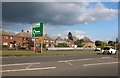
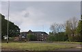
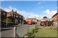
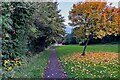
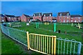

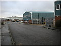
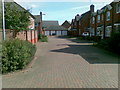
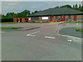
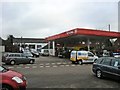
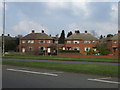
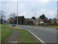
16 photos from this area
Area Information
Key information about the NN11 9AZ including its size, population, and administrative classification.
- Area Type
- Postcode
- Area Size
- 2.1 hectares
- Population
- 2950
- Population Density
- 4083 people/km²
House Prices in NN11 9AZ
43
Properties
£113,031
Average Sold Price
£25,995
Lowest Price
£215,000
Highest Price
Showing 43 properties
| Address | Type | Beds | Baths | Last Sale Price | Last Sale Date | |
|---|---|---|---|---|---|---|
| 43 Arnull Crescent, Daventry, NN11 9AZ | Flat | 1 | 1 | £88,500 | Apr 2025 | |
| 63 Arnull Crescent, Daventry, NN11 9AZ | Terraced | 3 | 1 | £200,000 | Mar 2025 | |
| 55 Arnull Crescent, Daventry, NN11 9AZ | Terraced | 3 | 1 | £196,000 | Feb 2025 | |
| 27 Arnull Crescent, Daventry, NN11 9AZ | Terraced | 3 | 1 | £215,000 | Jul 2022 | |
| 85 Arnull Crescent, Daventry, NN11 9AZ | house | - | - | £150,000 | May 2022 | |
| 45 Arnull Crescent, Daventry, NN11 9AZ | Maisonette | - | - | £97,500 | Feb 2022 | |
| 61 Arnull Crescent, Daventry, NN11 9AZ | Terraced | 3 | 1 | £167,000 | Mar 2021 | |
| 47 Arnull Crescent, Daventry, NN11 9AZ | Flat | - | - | £93,500 | Feb 2021 | |
| 11 Arnull Crescent, Daventry, NN11 9AZ | house | - | - | £154,000 | Jan 2021 | |
| 51 Arnull Crescent, Daventry, NN11 9AZ | Terraced | 2 | 1 | £154,750 | Dec 2020 |
Page 1 of 5
Energy Efficiency in NN11 9AZ
Amenities
Schools
| Rank | School | Type | Entry gender | Ages |
|---|
Explore more schools in this area
Go to Schools tabDemographics
Household Size
Family (3-5 people)
most common
Accommodation Type
Houses
most common
Tenure
53
majority
Ethnic Group
White
most common
Religion
N/A
most common
Household Composition
N/A
most common
Age
47
median
Adults (30-64 years)
most common
Household Deprivation
N/A
with no deprivation
NS-SEC
26
in Lower managerial occupations
Explore more demographic insights in this area
Go to Demographics tabPlanning
Planning Constraints
- Flood RiskPremium
- Ramsar Wetland SitesPremium
- Area of Outstanding Natural BeautyPremium
- Protected Nature ReservePremium
- Protected WoodlandPremium