Area Overview for NN11 9SA
Photos of NN11 9SA
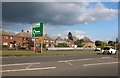
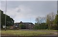
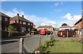
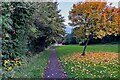
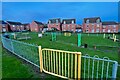

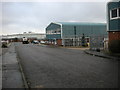
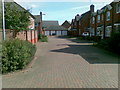
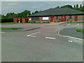
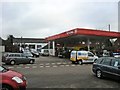
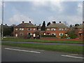
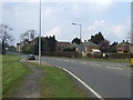
16 photos from this area
Area Information
Key information about the NN11 9SA including its size, population, and administrative classification.
- Area Type
- Postcode
- Area Size
- 2.7 hectares
- Population
- 1710
- Population Density
- 1235 people/km²
House Prices in NN11 9SA
59
Properties
£115,698
Average Sold Price
£33,000
Lowest Price
£290,000
Highest Price
Showing 59 properties
| Address | Type | Beds | Baths | Last Sale Price | Last Sale Date | |
|---|---|---|---|---|---|---|
| 34 Sherwood Drive, Daventry, NN11 9SA | Detached | 2 | 1 | £200,000 | Nov 2025 | |
| 2 Sherwood Drive, Daventry, NN11 9SA | Terraced | 2 | 1 | £165,000 | Jul 2025 | |
| 25 Sherwood Drive, Daventry, NN11 9SA | Detached | 2 | - | £172,000 | May 2025 | |
| 35 Sherwood Drive, Daventry, NN11 9SA | Terraced | 3 | 2 | £242,000 | Aug 2024 | |
| 7 Sherwood Drive, Daventry, NN11 9SA | Detached | 3 | 1 | £290,000 | Jun 2024 | |
| 42 Sherwood Drive, Daventry, NN11 9SA | Terraced | 2 | 1 | £190,000 | Apr 2024 | |
| 26 Sherwood Drive, Daventry, NN11 9SA | Terraced | 2 | 1 | £205,000 | May 2022 | |
| 44 Sherwood Drive, Daventry, NN11 9SA | Terraced | 2 | 1 | £193,000 | May 2022 | |
| 1 Sherwood Drive, Daventry, NN11 9SA | Terraced | 3 | 2 | £195,000 | May 2020 | |
| 40 Sherwood Drive, Daventry, NN11 9SA | Terraced | 2 | 1 | £155,000 | Apr 2019 |
Page 1 of 6
Energy Efficiency in NN11 9SA
Amenities
Schools
| Rank | School | Type | Entry gender | Ages |
|---|
Explore more schools in this area
Go to Schools tabDemographics
Household Size
Two person
most common
Accommodation Type
Houses
most common
Tenure
73
majority
Ethnic Group
White
most common
Religion
N/A
most common
Household Composition
N/A
most common
Age
47
median
Adults (30-64 years)
most common
Household Deprivation
N/A
with no deprivation
NS-SEC
35
in Lower managerial occupations
Explore more demographic insights in this area
Go to Demographics tabPlanning
Planning Constraints
- Flood RiskPremium
- Ramsar Wetland SitesPremium
- Area of Outstanding Natural BeautyPremium
- Protected Nature ReservePremium
- Protected WoodlandPremium