Area Overview for NG7 5JD
Photos of NG7 5JD
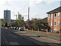
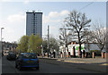
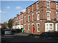
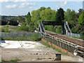
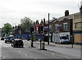
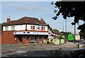
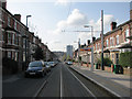
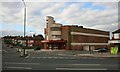
100 photos from this area
Area Information
Key information about the NG7 5JD including its size, population, and administrative classification.
- Area Type
- Postcode
- Area Size
- 1.2 hectares
- Population
- 1349
- Population Density
- 10539 people/km²
House Prices in NG7 5JD
40
Properties
£181,667
Average Sold Price
£130,000
Lowest Price
£285,000
Highest Price
Showing 40 properties
| Address | Type | Beds | Baths | Last Sale Price | Last Sale Date | |
|---|---|---|---|---|---|---|
| Second Floor Flat, 74 Gregory Boulevard, Nottingham, NG7 5JD | Flat | 4 | 4 | £130,000 | Dec 2009 | |
| 50A Gregory Boulevard, Nottingham, NG7 5JD | Flat | - | - | £285,000 | Sep 2007 | |
| 52A Gregory Boulevard, Nottingham, NG7 5JD | Flat | 2 | 1 | £130,000 | Apr 1996 | |
| Flat Over, 48 Gregory Boulevard, Nottingham, NG7 5JD | Flat | 1 | 2 | - | - | |
| First Floor Flat, 52-54 Gregory Boulevard, Nottingham, NG7 5JD | Flat | - | - | - | - | |
| Flat 1, 64 Gregory Boulevard, Nottingham, NG7 5JD | Flat | - | - | - | - | |
| Second Floor, 62 Gregory Boulevard, Nottingham, NG7 5JD | Flat | - | - | - | - | |
| Second Floor Flat, 52-54 Gregory Boulevard, Nottingham, NG7 5JD | Flat | - | - | - | - | |
| First Floor, 62 Gregory Boulevard, Nottingham, NG7 5JD | Flat | 2 | - | - | - | |
| Flat Over, 70 Gregory Boulevard, Nottingham, NG7 5JD | Flat | - | - | - | - |
Page 1 of 4
Energy Efficiency in NG7 5JD
Amenities
Schools
| Rank | School | Type | Entry gender | Ages |
|---|
Explore more schools in this area
Go to Schools tabDemographics
Household Size
One person
most common
Accommodation Type
Flats
most common
Tenure
17
majority
Ethnic Group
White
most common
Religion
N/A
most common
Household Composition
N/A
most common
Age
22
median
Adults (30-64 years)
most common
Household Deprivation
N/A
with no deprivation
NS-SEC
10
in Lower managerial occupations
Explore more demographic insights in this area
Go to Demographics tabPlanning
Planning Constraints
- Flood RiskPremium
- Ramsar Wetland SitesPremium
- Area of Outstanding Natural BeautyPremium
- Protected Nature ReservePremium
- Protected WoodlandPremium