Area Overview for NG7 5DS
Photos of NG7 5DS
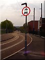
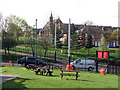
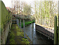
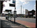
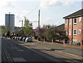
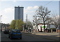
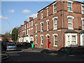
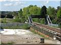
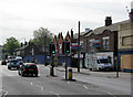
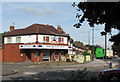
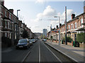
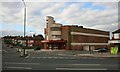
100 photos from this area
Area Information
Key information about the NG7 5DS including its size, population, and administrative classification.
- Area Type
- Postcode
- Area Size
- 1.0 hectares
- Population
- 1635
- Population Density
- 13524 people/km²
House Prices in NG7 5DS
65
Properties
£78,231
Average Sold Price
£21,500
Lowest Price
£135,000
Highest Price
Showing 65 properties
| Address | Type | Beds | Baths | Last Sale Price | Last Sale Date | |
|---|---|---|---|---|---|---|
| 48 Holland Street, Nottingham, NG7 5DS | house | - | - | £117,500 | Nov 2025 | |
| 54 Holland Street, Nottingham, NG7 5DS | Terraced | 2 | 1 | £120,000 | Oct 2023 | |
| 32 Holland Street, Nottingham, NG7 5DS | Terraced | 2 | 1 | £135,000 | Jan 2023 | |
| 40 Holland Street, Nottingham, NG7 5DS | house | - | - | £72,000 | Jul 2015 | |
| 38 Holland Street, Nottingham, NG7 5DS | house | 2 | - | £65,500 | Sep 2010 | |
| 28 Holland Street, Nottingham, NG7 5DS | house | - | - | £74,500 | Feb 2010 | |
| 42 Holland Street, Nottingham, NG7 5DS | house | - | - | £79,000 | May 2009 | |
| 26 Holland Street, Nottingham, NG7 5DS | house | - | - | £76,000 | Dec 2005 | |
| 34 Holland Street, Nottingham, NG7 5DS | Terraced | 2 | 1 | £66,000 | Oct 2005 | |
| 46 Holland Street, Nottingham, NG7 5DS | house | - | - | £72,000 | Aug 2004 |
Page 1 of 7
Energy Efficiency in NG7 5DS
Amenities
Schools
| Rank | School | Type | Entry gender | Ages |
|---|
Explore more schools in this area
Go to Schools tabDemographics
Household Size
Family (3-5 people)
most common
Accommodation Type
Houses
most common
Tenure
23
majority
Ethnic Group
asian_total
most common
Religion
N/A
most common
Household Composition
N/A
most common
Age
22
median
Adults (30-64 years)
most common
Household Deprivation
N/A
with no deprivation
NS-SEC
9
in Lower managerial occupations
Explore more demographic insights in this area
Go to Demographics tabPlanning
Planning Constraints
- Flood RiskPremium
- Ramsar Wetland SitesPremium
- Area of Outstanding Natural BeautyPremium
- Protected Nature ReservePremium
- Protected WoodlandPremium