Area Overview for NG7 5AS
Photos of NG7 5AS
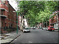
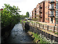
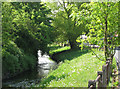
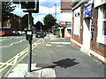
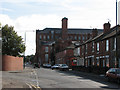
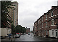
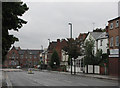
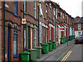
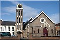
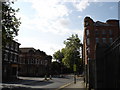
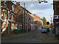
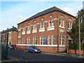
100 photos from this area
Area Information
Key information about the NG7 5AS including its size, population, and administrative classification.
- Area Type
- Postcode
- Area Size
- 4101 m²
- Population
- 1635
- Population Density
- 13524 people/km²
House Prices in NG7 5AS
38
Properties
£66,411
Average Sold Price
£17,000
Lowest Price
£145,000
Highest Price
Showing 38 properties
| Address | Type | Beds | Baths | Last Sale Price | Last Sale Date | |
|---|---|---|---|---|---|---|
| 34 Collison Street, Nottingham, NG7 5AS | house | - | - | £81,200 | Sep 2022 | |
| 27 Collison Street, Nottingham, NG7 5AS | Terraced | 4 | 1 | £145,000 | Jul 2019 | |
| 38 Collison Street, Nottingham, NG7 5AS | house | 3 | 1 | £85,000 | Jun 2016 | |
| 23 Collison Street, Nottingham, NG7 5AS | Terraced | 3 | 2 | £120,000 | Sep 2008 | |
| 30 Collison Street, Nottingham, NG7 5AS | Terraced | 4 | 2 | £85,000 | Jun 2004 | |
| 16 Collison Street, Nottingham, NG7 5AS | Terraced | 4 | 2 | £23,000 | Jan 2000 | |
| 6 Collison Street, Nottingham, NG7 5AS | house | - | - | £20,500 | Jan 1998 | |
| 10 Collison Street, Nottingham, NG7 5AS | house | - | - | £17,000 | May 1997 | |
| 4 Collison Street, Nottingham, NG7 5AS | Terraced | 4 | 1 | £21,000 | May 1997 | |
| 9 Collison Street, Nottingham, NG7 5AS | Terraced | 2 | 1 | - | - |
Page 1 of 4
Energy Efficiency in NG7 5AS
Amenities
Schools
| Rank | School | Type | Entry gender | Ages |
|---|
Explore more schools in this area
Go to Schools tabDemographics
Household Size
Family (3-5 people)
most common
Accommodation Type
Houses
most common
Tenure
23
majority
Ethnic Group
asian_total
most common
Religion
N/A
most common
Household Composition
N/A
most common
Age
22
median
Adults (30-64 years)
most common
Household Deprivation
N/A
with no deprivation
NS-SEC
9
in Lower managerial occupations
Explore more demographic insights in this area
Go to Demographics tabPlanning
Planning Constraints
- Flood RiskPremium
- Ramsar Wetland SitesPremium
- Area of Outstanding Natural BeautyPremium
- Protected Nature ReservePremium
- Protected WoodlandPremium