Area Overview for NG5 6GW
Photos of NG5 6GW
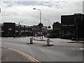
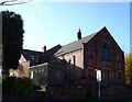
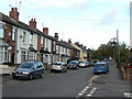
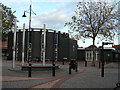
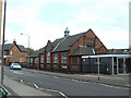
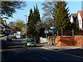
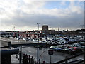
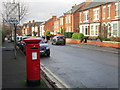
50 photos from this area
Area Information
Key information about the NG5 6GW including its size, population, and administrative classification.
- Area Type
- Postcode
- Area Size
- 1.0 hectares
- Population
- 1496
- Population Density
- 5955 people/km²
House Prices in NG5 6GW
66
Properties
£123,031
Average Sold Price
£25,500
Lowest Price
£235,000
Highest Price
Showing 66 properties
| Address | Type | Beds | Baths | Last Sale Price | Last Sale Date | |
|---|---|---|---|---|---|---|
| 120 St Albans Road, Arnold, NG5 6GW | Terraced | 2 | 1 | £175,000 | Jul 2025 | |
| 162 St Albans Road, Arnold, NG5 6GW | Terraced | 2 | 1 | £200,000 | Nov 2024 | |
| 90 St Albans Road, Arnold, NG5 6GW | Terraced | 2 | 1 | £175,000 | Aug 2024 | |
| 82 St Albans Road, Arnold, NG5 6GW | Terraced | 2 | 1 | £145,500 | Aug 2024 | |
| 124 St Albans Road, Arnold, NG5 6GW | Terraced | 2 | 1 | £152,500 | Aug 2024 | |
| 122 St Albans Road, Arnold, NG5 6GW | Terraced | 3 | 1 | £185,500 | Jun 2024 | |
| 70 St Albans Road, Arnold, NG5 6GW | Terraced | 2 | 1 | £160,000 | Apr 2024 | |
| 100 St Albans Road, Arnold, NG5 6GW | Terraced | 2 | 1 | £177,500 | Aug 2023 | |
| 114 St Albans Road, Arnold, NG5 6GW | Terraced | 2 | 1 | £185,000 | Jul 2023 | |
| 146 St Albans Road, Arnold, NG5 6GW | Terraced | 2 | 1 | £195,000 | Jun 2023 |
Page 1 of 7
Energy Efficiency in NG5 6GW
Amenities
Schools
| Rank | School | Type | Entry gender | Ages |
|---|
Explore more schools in this area
Go to Schools tabDemographics
Household Size
One person
most common
Accommodation Type
Houses
most common
Tenure
55
majority
Ethnic Group
White
most common
Religion
N/A
most common
Household Composition
N/A
most common
Age
47
median
Adults (30-64 years)
most common
Household Deprivation
N/A
with no deprivation
NS-SEC
28
in Lower managerial occupations
Explore more demographic insights in this area
Go to Demographics tabPlanning
Planning Constraints
- Flood RiskPremium
- Ramsar Wetland SitesPremium
- Area of Outstanding Natural BeautyPremium
- Protected Nature ReservePremium
- Protected WoodlandPremium